Earthquake NORTH ISLAND OF NEW ZEALAND
Sat, 17 Jan 2026 12:46:38 GMT
Time1 month ago
Location
-38.0951, 176.2011
Depth
150.5 KM
Event Summary
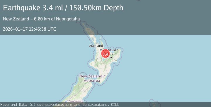
A 3.4 magnitude earthquake struck on NORTH ISLAND OF NEW ZEALAND, at Sat, 17 Jan 2026 12:46:38 GMT. Depth: 150.5km. Reviewed by GNS seismologists, this minor quake occurred at a magnitude type of ml.
Magnitude
3.4
ml
Source
GNS
Intensity
-
Agency Reports
1 Sources| Source | Magnitude | Depth | Time |
|---|---|---|---|
| GNSPrimary | 3.4 | 151 km | 1 month ago |
Earthquake Details
AutomaticEvent IDemsc_GNS_20260117_0000134
Tsunami PotentialNo
Magnitude Typeml
Nearest Places
- Fairy Springs0.9 km
- Waikuta Marae0.9 km
- Ngongotaha1.3 km
- Rainbow Springs1.5 km
- Rotorua Hideaway Lodge1.5 km
Comments
Join the discussion about this event.
Latest Earthquakes
1.1Mag
31 km WSW of Ackerly, Texas
Time6 minutes ago
Depth3.93 km
SourceUSGS (Automatic)
2.4Mag
West Papua Region, Indonesia
Time14 minutes ago
Depth10.00 km
SourceBMKG
3.3Mag
Talaud Islands, Indonesia
Time15 minutes ago
Depth10.00 km
SourceBMKG
1.1Mag
4 km NW of The Geysers, CA
Time15 minutes ago
Depth3.39 km
SourceUSGS (Automatic)
1.0Mag
33 km WSW of Ackerly, Texas
Time15 minutes ago
Depth4.44 km
SourceUSGS (Automatic)
Nearby Earthquakes
3.0Mag
NORTH ISLAND OF NEW ZEALAND
Time4 years ago
Depth143.00 km
SourceGNS (Automatic)
3.0Mag
NORTH ISLAND OF NEW ZEALAND
Time3 years ago
Depth131.00 km
SourceGNS (Automatic)
3.0Mag
NORTH ISLAND OF NEW ZEALAND
Time2 years ago
Depth149.10 km
SourceGNS (Automatic)
3.0Mag
NORTH ISLAND OF NEW ZEALAND
Time11 months ago
Depth228.30 km
SourceGNS (Automatic)
2.4Mag
North Island, New Zealand
Time1 week ago
Depth131.30 km
SourceGNS