Earthquake OFF W. COAST OF S. ISLAND, N.Z.
Fri, 06 Feb 2026 09:52:05 GMT
Time1 hour ago
Location
-46.8087, 165.7090
Depth
5.0 KM
Event Summary
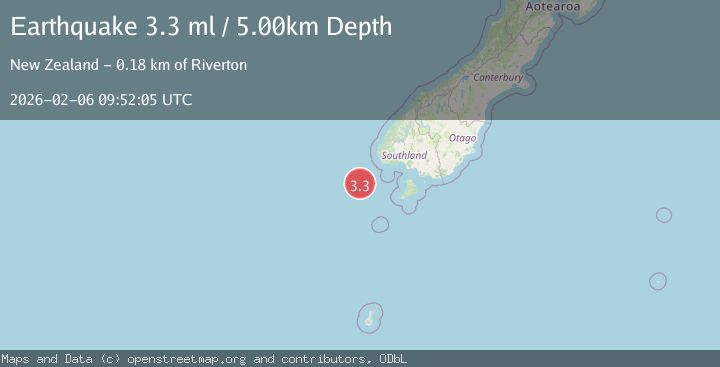
A 3.3 magnitude earthquake struck on OFF W. COAST OF S. ISLAND, N.Z., at Fri, 06 Feb 2026 09:52:05 GMT. Depth: 5km. Reviewed by GNS seismologists, this minor quake occurred at a magnitude type of ml.
Magnitude
3.3
ml
Source
GNS
Intensity
-
Agency Reports
1 Sources| Source | Magnitude | Depth | Time |
|---|---|---|---|
| GNSPrimary | 3.3 | 5 km | 1 hour ago |
Earthquake Details
AutomaticEvent IDemsc_GNS_20260206_0000168
Tsunami PotentialNo
Magnitude Typeml
Nearest Places
- Puysegur Bank40.9 km
- Solander Trough76.9 km
- Resolution Ridge89.7 km
- Solander Island91.8 km
- Little Solander Island91.9 km
Comments
Join the discussion about this event.
Latest Earthquakes
1.4Mag
56 km E of Egegik, Alaska
Time13 minutes ago
Depth12.20 km
SourceUSGS (Automatic)
3.2Mag
Minahassa Peninsula, Sulawesi
Time14 minutes ago
Depth39.05 km
SourceBMKG (Automatic)
2.3Mag
WESTERN TURKEY
Time17 minutes ago
Depth9.70 km
SourceKOERI (Automatic)
2.9Mag
Northern Sumatra, Indonesia
Time19 minutes ago
Depth3.00 km
SourceBMKG (Automatic)
1.9Mag
EASTERN TURKEY
Time32 minutes ago
Depth7.10 km
SourceAFAD (Automatic)
Nearby Earthquakes
3.3Mag
OFF W. COAST OF S. ISLAND, N.Z.
Time1 week ago
Depth5.00 km
SourceGNS (Automatic)
3.8Mag
OFF W. COAST OF S. ISLAND, N.Z.
Time1 day ago
Depth5.00 km
SourceGNS (Automatic)
3.2Mag
OFF W. COAST OF S. ISLAND, N.Z.
Time3 days ago
Depth5.00 km
SourceGNS (Automatic)
5.5Mag
OFF W. COAST OF S. ISLAND, N.Z.
Time4 days ago
Depth9.00 km
SourceEMSC (Automatic)
3.3Mag
OFF W. COAST OF S. ISLAND, N.Z.
Time1 week ago
Depth5.00 km
SourceGNS (Automatic)