Earthquake SOUTH ISLAND OF NEW ZEALAND
Tue, 17 Feb 2026 12:02:22 GMT
Time22 hours ago
Location
-44.2872, 168.8461
Depth
5.0 KM
Event Summary
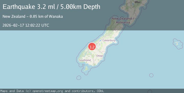
A 3.2 magnitude earthquake struck on SOUTH ISLAND OF NEW ZEALAND, at Tue, 17 Feb 2026 12:02:22 GMT. Depth: 5km. Reviewed by GNS seismologists, this minor quake occurred at a magnitude type of ml.
Magnitude
3.2
ml
Source
GNS
Intensity
-
Agency Reports
1 Sources| Source | Magnitude | Depth | Time |
|---|---|---|---|
| GNSPrimary | 3.2 | 5 km | 22 hours ago |
Earthquake Details
AutomaticEvent IDemsc_GNS_20260217_0000187
Tsunami PotentialNo
Magnitude Typeml
Nearest Places
- Waterfall Flat0.3 km
- Mount Taurus0.5 km
- Wilkin River South Branch1.3 km
- Pearson Saddle1.3 km
- Mount Taurus1.5 km
Comments
Join the discussion about this event.
Latest Earthquakes
1.3Mag
15 km N of Grapevine, CA
Time22 hours ago
Depth15.15 km
SourceUSGS (Automatic)
2.7Mag
Java, Indonesia
Time22 hours ago
Depth22.57 km
SourceBMKG
2.6Mag
Tarapaca, Chile
Time22 hours ago
Depth109.25 km
SourceVYT (Automatic)
2.5Mag
FRANCE
Time23 hours ago
Depth5.00 km
SourceReNaSS (Automatic)
1.5Mag
Southeastern Alaska
Time23 hours ago
Depth0.00 km
SourceVYT (Automatic)
Nearby Earthquakes
3.5Mag
SOUTH ISLAND OF NEW ZEALAND
Time2 days ago
Depth10.00 km
SourceGNS (Automatic)
3.0Mag
SOUTH ISLAND OF NEW ZEALAND
Time1 year ago
Depth6.20 km
SourceGNS (Automatic)
3.0Mag
SOUTH ISLAND OF NEW ZEALAND
Time2 years ago
Depth5.00 km
SourceGNS (Automatic)
3.0Mag
SOUTH ISLAND OF NEW ZEALAND
Time3 months ago
Depth5.90 km
SourceGNS (Automatic)
3.0Mag
SOUTH ISLAND OF NEW ZEALAND
Time4 years ago
Depth6.00 km
SourceGNS (Automatic)