Earthquake 15 km N of Grapevine, CA
Tue, 17 Feb 2026 11:56:32 GMT
Time1 day ago
Location
35.0733, -118.9497
Depth
15.2 KM
Event Summary
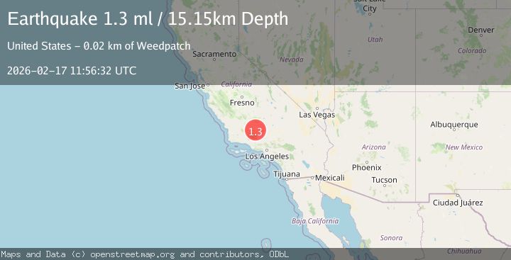
A 1.3 magnitude earthquake struck on 15 km N of Grapevine, CA, at Tue, 17 Feb 2026 11:56:32 GMT. Depth: 15.15km. Reviewed by USGS seismologists, this minor quake occurred at a magnitude type of ml.
Magnitude
1.3
ml
Source
USGS
Intensity
-
Agency Reports
1 Sources| Source | Magnitude | Depth | Time |
|---|---|---|---|
| USGSPrimary | 1.3 | 15 km | 1 day ago |
Earthquake Details
AutomaticEvent IDusgs_ci41399240
Tsunami PotentialNo
Magnitude Typeml
Nearest Places
- Mettler2.1 km
- Mettler Elementary School2.5 km
- Meridian School3.8 km
- Meridian5.0 km
- Tejon Substation (historical)6.0 km
Comments
Join the discussion about this event.
Latest Earthquakes
2.4Mag
Northern Sumatra, Indonesia
Time22 hours ago
Depth3.00 km
SourceBMKG
2.7Mag
SAN JUAN, ARGENTINA
Time23 hours ago
Depth96.00 km
SourceNSNA (Automatic)
3.9Mag
near the north coast of Papua, Indonesia
Time23 hours ago
Depth43.09 km
SourceVYT (Automatic)
2.2Mag
Antofagasta, Chile
Time23 hours ago
Depth125.73 km
SourceVYT (Automatic)
2.1Mag
Sumbawa Region, Indonesia
Time23 hours ago
Depth18.83 km
SourceBMKG
Nearby Earthquakes
3.0Mag
CENTRAL CALIFORNIA
Time1 month ago
Depth13.70 km
SourceNEIC (Automatic)
2.2Mag
Central California
Time2 days ago
Depth16.72 km
SourceVYT (Automatic)
3.0Mag
CENTRAL CALIFORNIA
Time4 years ago
Depth5.00 km
SourceNEIC (Automatic)
1.5Mag
14 km SSW of Arvin, CA
Time1 week ago
Depth14.97 km
SourceUSGS (Automatic)
3.0Mag
CENTRAL CALIFORNIA
Time3 years ago
Depth10.00 km
SourceNEIC (Automatic)