Earthquake SOUTH OF KERMADEC ISLANDS
Sat, 28 Feb 2026 10:23:41 GMT
Time1 hour ago
Location
-33.4905, 178.8643
Depth
300.0 KM
Event Summary
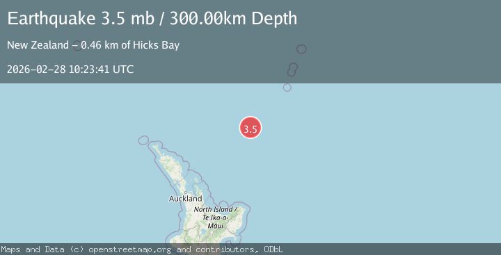
A 3.5 magnitude earthquake struck on SOUTH OF KERMADEC ISLANDS, at Sat, 28 Feb 2026 10:23:41 GMT. Depth: 300km. Reviewed by GNS seismologists, this minor quake occurred at a magnitude type of mb.
Magnitude
3.5
mb
Source
GNS
Intensity
-
Agency Reports
1 Sources| Source | Magnitude | Depth | Time |
|---|---|---|---|
| GNSPrimary | 3.5 | 300 km | 1 hour ago |
Earthquake Details
AutomaticEvent IDemsc_GNS_20260228_0000149
Tsunami PotentialNo
Magnitude Typemb
Nearest Places
- 90.5 km
- 118.6 km
- 128.5 km
- 145.2 km
- 148.2 km
Comments
Join the discussion about this event.
Latest Earthquakes
2.4Mag
Java, Indonesia
Time1 hour ago
Depth9.97 km
SourceBMKG
1.2Mag
Central California
Time1 hour ago
Depth11.11 km
SourceVYT (Automatic)
2.0Mag
NEVADA
Time1 hour ago
Depth4.20 km
SourceNN (Automatic)
2.2Mag
Southern Alaska
Time1 hour ago
Depth146.61 km
SourceVYT (Automatic)
1.5Mag
Central Alaska
Time1 hour ago
Depth0.00 km
SourceVYT (Automatic)
Nearby Earthquakes
4.0Mag
SOUTH OF KERMADEC ISLANDS
Time4 years ago
Depth300.00 km
SourceGNS (Automatic)
4.0Mag
SOUTH OF KERMADEC ISLANDS
Time3 years ago
Depth500.00 km
SourceGNS (Automatic)
4.0Mag
SOUTH OF KERMADEC ISLANDS
Time4 years ago
Depth356.00 km
SourceGNS (Automatic)
4.0Mag
SOUTH OF KERMADEC ISLANDS
Time5 years ago
Depth460.00 km
SourceGNS (Automatic)
4.0Mag
SOUTH OF KERMADEC ISLANDS
Time7 years ago
Depth331.00 km
SourceNEIC (Automatic)