Earthquake KURIL ISLANDS
Mon, 12 Jan 2026 03:46:50 GMT
Time1 month ago
Location
49.3000, 156.2200
Depth
60.0 KM
Event Summary
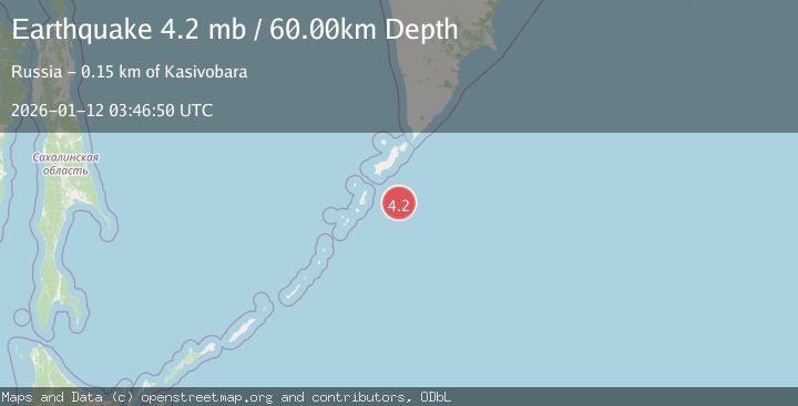
A 4.2 magnitude earthquake struck on KURIL ISLANDS, at Mon, 12 Jan 2026 03:46:50 GMT. Depth: 60km. Reviewed by GSRAS seismologists, this light quake occurred at a magnitude type of mb.
Magnitude
4.2
mb
Source
GSRAS
Intensity
-
Agency Reports
1 Sources| Source | Magnitude | Depth | Time |
|---|---|---|---|
| GSRASPrimary | 4.2 | 60 km | 1 month ago |
Earthquake Details
AutomaticEvent IDemsc_GSRAS_20260112_0000077
Tsunami PotentialNo
Magnitude Typemb
Nearest Places
- Skaly Penistyye95.9 km
- Oyashio96.0 km
- Kombu Iwa97.0 km
- Shigi Ura97.8 km
- Skaly Khmyr’97.9 km
Comments
Join the discussion about this event.
Latest Earthquakes
1.5Mag
Java, Indonesia
Time2 minutes ago
Depth22.95 km
SourceVYT (Automatic)
3.7Mag
Southern Alaska
Time11 minutes ago
Depth9.77 km
SourceVYT (Automatic)
1.3Mag
7 km NE of Coso Junction, CA
Time14 minutes ago
Depth5.86 km
SourceUSGS (Automatic)
2.2Mag
CENTRAL TURKEY
Time16 minutes ago
Depth5.00 km
SourceKOERI (Automatic)
1.1Mag
31 km WSW of Ackerly, Texas
Time20 minutes ago
Depth3.93 km
SourceUSGS (Automatic)
Nearby Earthquakes
5.2Mag
KURIL ISLANDS
Time13 years ago
Depth27.00 km
SourceEMSC (Automatic)
4.2Mag
KURIL ISLANDS
Time1 month ago
Depth10.00 km
SourceGSRAS (Automatic)
5.2Mag
KURIL ISLANDS
Time12 years ago
Depth40.00 km
SourceEMSC (Automatic)
6.4Mag
KURIL ISLANDS
Time7 years ago
Depth40.00 km
SourceEMSC (Automatic)
5.0Mag
KURIL ISLANDS
Time12 years ago
Depth40.00 km
SourceEMSC (Automatic)