Earthquake EAST OF KURIL ISLANDS
Sun, 18 Jan 2026 03:01:33 GMT
Time1 month ago
Location
50.2300, 159.5300
Depth
40.0 KM
Event Summary
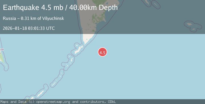
A 4.5 magnitude earthquake struck on EAST OF KURIL ISLANDS, at Sun, 18 Jan 2026 03:01:33 GMT. Depth: 40km. Reviewed by GSRAS seismologists, this light quake occurred at a magnitude type of mb.
Magnitude
4.5
mb
Source
GSRAS
Intensity
-
Agency Reports
1 Sources| Source | Magnitude | Depth | Time |
|---|---|---|---|
| GSRASPrimary | 4.5 | 40 km | 1 month ago |
Earthquake Details
AutomaticEvent IDemsc_GSRAS_20260118_0000086
Tsunami PotentialNo
Magnitude Typemb
Nearest Places
- 134.5 km
- 181.5 km
- 182.2 km
- 190.3 km
- 191.4 km
Comments
Join the discussion about this event.
Latest Earthquakes
3.6Mag
Near North Coast of West Papua
Time4 minutes ago
Depth22.55 km
SourceBMKG
1.3Mag
Southeastern Alaska
Time8 minutes ago
Depth14.04 km
SourceVYT (Automatic)
1.2Mag
14 km ENE of Fox, Alaska
Time9 minutes ago
Depth5.00 km
SourceUSGS (Automatic)
2.2Mag
WESTERN TURKEY
Time10 minutes ago
Depth1.80 km
SourceKOERI (Automatic)
2.1Mag
ISLAND OF HAWAII, HAWAII
Time12 minutes ago
Depth26.90 km
SourceHV (Automatic)
Nearby Earthquakes
5.1Mag
EAST OF KURIL ISLANDS
Time6 months ago
Depth7.30 km
SourceEMSC (Automatic)
4.0Mag
EAST OF KURIL ISLANDS
Time1 year ago
Depth55.00 km
SourceGSRAS (Automatic)
6.0Mag
EAST OF KURIL ISLANDS
Time6 months ago
Depth7.90 km
SourceEMSC (Automatic)
5.7Mag
EAST OF KURIL ISLANDS
Time6 months ago
Depth10.60 km
SourceEMSC (Automatic)
5.1Mag
EAST OF KURIL ISLANDS
Time6 months ago
Depth11.60 km
SourceEMSC (Automatic)