Earthquake Near North Coast of West Papua
Sat, 21 Feb 2026 00:41:09 GMT
Time1 hour ago
Location
-2.3092, 140.0133
Depth
21.1 KM
Event Summary
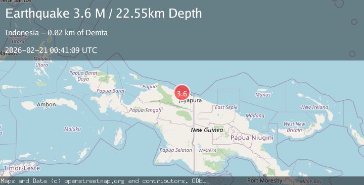
A 3.6 magnitude earthquake struck on Near North Coast of West Papua, at Sat, 21 Feb 2026 00:41:09 GMT. Depth: 21.052238km. Reviewed by BMKG seismologists, this minor quake occurred at a magnitude type of M.
Magnitude
3.6
M
Source
BMKG
Intensity
-
Agency Reports
1 Sources| Source | Magnitude | Depth | Time |
|---|---|---|---|
| BMKGPrimary | 3.6 | 21 km | 1 hour ago |
Earthquake Details
ManualEvent IDbmg2026dpga
Tsunami PotentialNo
Magnitude TypeM
Nearest Places
- 6.1 km
- 6.1 km
- 6.2 km
- 7.2 km
- 9.0 km
Comments
Join the discussion about this event.
Latest Earthquakes
1.3Mag
Southeastern Alaska
Time1 hour ago
Depth14.04 km
SourceVYT (Automatic)
1.2Mag
14 km ENE of Fox, Alaska
Time1 hour ago
Depth5.00 km
SourceUSGS (Automatic)
2.1Mag
ISLAND OF HAWAII, HAWAII
Time1 hour ago
Depth26.90 km
SourceHV (Automatic)
1.3Mag
Central Alaska
Time1 hour ago
Depth0.00 km
SourceVYT (Automatic)
4.4Mag
southern Italy
Time1 hour ago
Depth304.57 km
SourceVYT (Automatic)
Nearby Earthquakes
3.0Mag
NEAR N COAST OF PAPUA, INDONESIA
Time2 years ago
Depth19.00 km
SourceDJA (Automatic)
3.0Mag
NEAR N COAST OF PAPUA, INDONESIA
Time5 years ago
Depth10.00 km
SourceDJA (Automatic)
2.5Mag
NEAR N COAST OF PAPUA, INDONESIA
Time1 month ago
Depth22.00 km
SourceBMKG (Automatic)
3.0Mag
NEAR N COAST OF PAPUA, INDONESIA
Time1 year ago
Depth10.00 km
SourceBMKG (Automatic)
2.6Mag
Near North Coast of West Papua
Time3 weeks ago
Depth18.57 km
SourceBMKG (Automatic)