Earthquake PYRENEES
Mon, 12 Jan 2026 09:08:05 GMT
Time1 month ago
Location
42.9643, 0.1819
Depth
1.7 KM
Event Summary
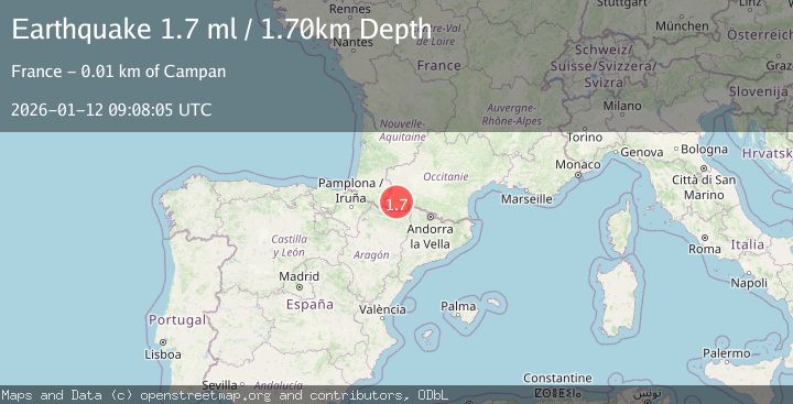
A 1.7 magnitude earthquake struck on PYRENEES, at Mon, 12 Jan 2026 09:08:05 GMT. Depth: 1.7km. Reviewed by IGN seismologists, this minor quake occurred at a magnitude type of ml.
Magnitude
1.7
ml
Source
IGN
Intensity
-
Agency Reports
1 Sources| Source | Magnitude | Depth | Time |
|---|---|---|---|
| IGNPrimary | 1.7 | 2 km | 1 month ago |
Earthquake Details
AutomaticEvent IDemsc_IGN_20260112_0000154
Tsunami PotentialNo
Magnitude Typeml
Nearest Places
- Pène Nère1.2 km
- Cap d'Aygue Rouye1.4 km
- Pas de la Crabe1.5 km
- Cap de la Taoula1.6 km
- la Montagnette1.7 km
Comments
Join the discussion about this event.
Latest Earthquakes
0.6Mag
Southern Alaska
Time1 hour ago
Depth0.00 km
SourceVYT (Automatic)
2.3Mag
Antofagasta, Chile
Time1 hour ago
Depth123.90 km
SourceVYT (Automatic)
2.7Mag
Tarapaca, Chile
Time1 hour ago
Depth47.00 km
SourceVYT (Automatic)
1.3Mag
Southeastern Alaska
Time1 hour ago
Depth0.00 km
SourceVYT (Automatic)
1.3Mag
53 km N of Petersville, Alaska
Time1 hour ago
Depth126.60 km
SourceUSGS (Automatic)
Nearby Earthquakes
2.1Mag
PYRENEES
Time1 month ago
Depth0.00 km
SourceIGN (Automatic)
1.6Mag
PYRENEES
Time1 month ago
Depth10.90 km
SourceIGN (Automatic)
1.8Mag
PYRENEES
Time3 weeks ago
Depth1.40 km
SourceIGN (Automatic)
3.0Mag
PYRENEES
Time12 years ago
Depth2.00 km
SourceLDG (Automatic)
2.4Mag
FRANCE
Time2 hours ago
Depth2.70 km
SourceIGN (Automatic)