Earthquake 53 km N of Petersville, Alaska
Thu, 19 Feb 2026 05:11:49 GMT
Time1 hour ago
Location
62.9780, -150.8150
Depth
126.6 KM
Event Summary
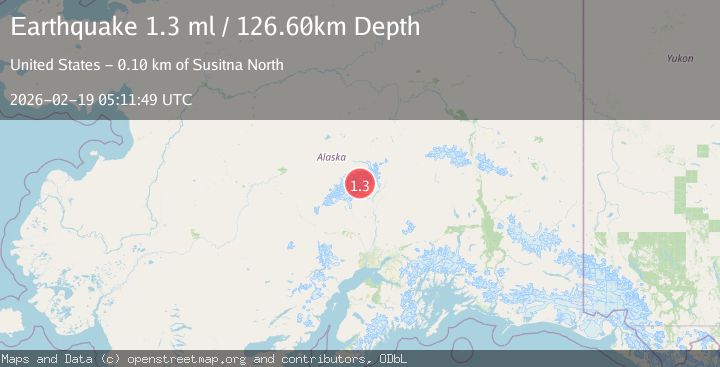
A 1.3 magnitude earthquake struck on 53 km N of Petersville, Alaska, at Thu, 19 Feb 2026 05:11:49 GMT. Depth: 126.6km. Reviewed by USGS seismologists, this minor quake occurred at a magnitude type of ml.
Magnitude
1.3
ml
Source
USGS
Intensity
-
Agency Reports
1 Sources| Source | Magnitude | Depth | Time |
|---|---|---|---|
| USGSPrimary | 1.3 | 127 km | 1 hour ago |
Earthquake Details
AutomaticEvent IDusgs_aka2026dmixvv
Tsunami PotentialNo
Magnitude Typeml
Nearest Places
- The Rooster Comb1.1 km
- Ruth Amphitheater3.8 km
- Pease Peak4.2 km
- Mount Huntington4.3 km
- Pittock Pass4.5 km
Comments
Join the discussion about this event.
Latest Earthquakes
0.6Mag
Southern Alaska
Time1 hour ago
Depth0.00 km
SourceVYT (Automatic)
2.3Mag
Antofagasta, Chile
Time1 hour ago
Depth123.90 km
SourceVYT (Automatic)
2.7Mag
Tarapaca, Chile
Time1 hour ago
Depth47.00 km
SourceVYT (Automatic)
1.3Mag
Southeastern Alaska
Time1 hour ago
Depth0.00 km
SourceVYT (Automatic)
1.5Mag
British Columbia, Canada
Time1 hour ago
Depth25.88 km
SourceVYT (Automatic)
Nearby Earthquakes
1.4Mag
54 km N of Petersville, Alaska
Time2 weeks ago
Depth124.00 km
SourceUSGS (Automatic)
2.2Mag
52 km N of Petersville, Alaska
Time1 week ago
Depth102.60 km
SourceUSGS (Automatic)
3.0Mag
CENTRAL ALASKA
Time6 years ago
Depth104.00 km
SourceNEIC (Automatic)
3.0Mag
CENTRAL ALASKA
Time6 years ago
Depth107.00 km
SourceNEIC (Automatic)
2.1Mag
CENTRAL ALASKA
Time1 month ago
Depth123.80 km
SourceNEIC (Automatic)