Earthquake STRAIT OF GIBRALTAR
Wed, 14 Jan 2026 21:17:29 GMT
Time1 month ago
Location
35.4709, -3.5797
Depth
20.5 KM
Event Summary
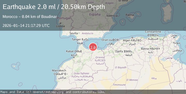
A 2.0 magnitude earthquake struck on STRAIT OF GIBRALTAR, at Wed, 14 Jan 2026 21:17:29 GMT. Depth: 20.5km. Reviewed by IGN seismologists, this minor quake occurred at a magnitude type of ml.
Magnitude
2.0
ml
Source
IGN
Intensity
-
Agency Reports
1 Sources| Source | Magnitude | Depth | Time |
|---|---|---|---|
| IGNPrimary | 2.0 | 21 km | 1 month ago |
Earthquake Details
AutomaticEvent IDemsc_IGN_20260114_0000305
Tsunami PotentialNo
Magnitude Typeml
Nearest Places
- 22.5 km
- 22.8 km
- 22.9 km
- 23.1 km
- 23.3 km
Comments
Join the discussion about this event.
Latest Earthquakes
3.9Mag
eastern New Guinea region, Papua New Guinea
Time5 minutes ago
Depth58.47 km
SourceVYT (Automatic)
0.8Mag
15 km NE of Little Lake, CA
Time15 minutes ago
Depth1.26 km
SourceUSGS (Automatic)
1.9Mag
STRAIT OF GIBRALTAR
Time16 minutes ago
Depth0.00 km
SourceIGN (Automatic)
1.3Mag
Southern Alaska
Time16 minutes ago
Depth31.98 km
SourceVYT (Automatic)
2.7Mag
GREECE
Time21 minutes ago
Depth14.30 km
SourceNOA (Automatic)
Nearby Earthquakes
1.6Mag
STRAIT OF GIBRALTAR
Time2 hours ago
Depth14.50 km
SourceIGN (Automatic)
3.0Mag
STRAIT OF GIBRALTAR
Time4 years ago
Depth17.00 km
SourceMDD (Automatic)
3.0Mag
STRAIT OF GIBRALTAR
Time3 years ago
Depth30.00 km
SourceEMSC (Automatic)
3.0Mag
STRAIT OF GIBRALTAR
Time8 years ago
Depth30.00 km
SourceEMSC (Automatic)
3.0Mag
STRAIT OF GIBRALTAR
Time3 years ago
Depth30.00 km
SourceEMSC (Automatic)