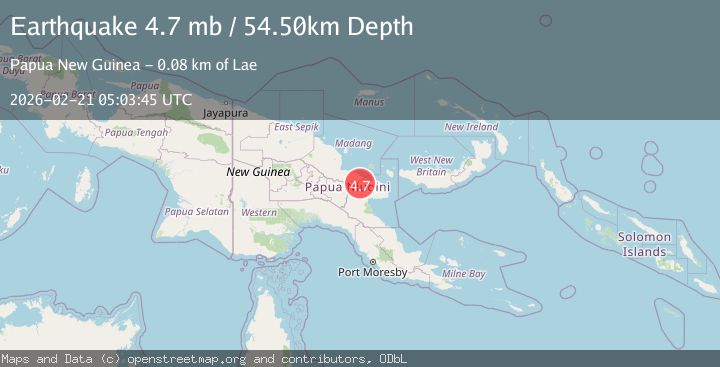
Earthquake eastern New Guinea region, Papua New Guinea
Sat, 21 Feb 2026 05:03:37 GMT
Time1 hour ago
Location
-5.4037, 146.9654
Depth
46.6 KM
Event Summary
A 3.9 magnitude earthquake struck on eastern New Guinea region, Papua New Guinea, at Sat, 21 Feb 2026 05:03:37 GMT. Depth: 46.630859375km. Reviewed by VYT seismologists, this minor quake occurred at a magnitude type of earthquake.
Magnitude
3.9
earthquake
Source
VYT
Intensity
-
Agency Reports
1 Sources| Source | Magnitude | Depth | Time |
|---|---|---|---|
| VYTPrimary | 3.9 | 47 km | 1 hour ago |
Earthquake Details
AutomaticEvent IDvyt_2q9we6cgvnaht
Tsunami PotentialNo
Magnitude Typeearthquake
Nearest Places
- 5.6 km
- 5.6 km
- 5.6 km
- 7.0 km
- 7.5 km
Comments
Join the discussion about this event.
Latest Earthquakes
3.5Mag
Caspian Sea
Time1 hour ago
Depth121.09 km
SourceVYT (Automatic)
3.3Mag
West Papua, Indonesia
Time1 hour ago
Depth57.63 km
SourceBMKG
2.3Mag
EASTERN TURKEY
Time1 hour ago
Depth5.50 km
SourceKOERI (Automatic)
0.8Mag
15 km NE of Little Lake, CA
Time1 hour ago
Depth1.26 km
SourceUSGS (Automatic)
1.9Mag
STRAIT OF GIBRALTAR
Time1 hour ago
Depth0.00 km
SourceIGN (Automatic)
Nearby Earthquakes
5.5Mag
EASTERN NEW GUINEA REG., P.N.G.
Time2 years ago
Depth200.00 km
SourceEMSC (Automatic)
6.1Mag
EASTERN NEW GUINEA REG., P.N.G.
Time20 years ago
Depth220.00 km
SourceEMSC (Automatic)
5.7Mag
EASTERN NEW GUINEA REG., P.N.G.
Time3 years ago
Depth194.00 km
SourceEMSC (Automatic)
5.1Mag
EASTERN NEW GUINEA REG., P.N.G.
Time3 years ago
Depth214.00 km
SourceEMSC (Automatic)
5.0Mag
EASTERN NEW GUINEA REG., P.N.G.
Time15 years ago
Depth284.00 km
SourceEMSC (Automatic)