Earthquake STRAIT OF GIBRALTAR
Thu, 12 Feb 2026 13:40:25 GMT
Time6 days ago
Location
36.6394, -5.3155
Depth
1.0 KM
Event Summary
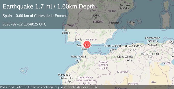
A 1.7 magnitude earthquake struck on STRAIT OF GIBRALTAR, at Thu, 12 Feb 2026 13:40:25 GMT. Depth: 1km. Reviewed by IGN seismologists, this minor quake occurred at a magnitude type of ml.
Magnitude
1.7
ml
Source
IGN
Intensity
-
Agency Reports
1 Sources| Source | Magnitude | Depth | Time |
|---|---|---|---|
| IGNPrimary | 1.7 | 1 km | 6 days ago |
Earthquake Details
AutomaticEvent IDemsc_IGN_20260212_0000172
Tsunami PotentialNo
Magnitude Typeml
Nearest Places
- Sierra Blanquilla1.8 km
- Cerro Bernal3.0 km
- Sol y Sierra3.1 km
- Jimera de Líbar3.4 km
- Llano de Libar3.4 km
Comments
Join the discussion about this event.
Latest Earthquakes
2.9Mag
Timor region, Indonesia
Time6 minutes ago
Depth29.05 km
SourceVYT (Automatic)
3.0Mag
Coquimbo, Chile
Time6 minutes ago
Depth78.86 km
SourceVYT (Automatic)
2.0Mag
0 km WNW of The Geysers, CA
Time7 minutes ago
Depth0.62 km
SourceUSGS (Automatic)
3.2Mag
western Texas
Time9 minutes ago
Depth0.24 km
SourceVYT (Automatic)
2.2Mag
Finland
Time15 minutes ago
Depth24.05 km
SourceVYT (Automatic)
Nearby Earthquakes
1.7Mag
STRAIT OF GIBRALTAR
Time5 days ago
Depth0.00 km
SourceIGN (Automatic)
1.9Mag
STRAIT OF GIBRALTAR
Time1 week ago
Depth0.00 km
SourceIGN (Automatic)
2.0Mag
STRAIT OF GIBRALTAR
Time5 days ago
Depth0.00 km
SourceIGN (Automatic)
1.9Mag
STRAIT OF GIBRALTAR
Time1 week ago
Depth0.00 km
SourceIGN (Automatic)
1.6Mag
STRAIT OF GIBRALTAR
Time1 week ago
Depth1.10 km
SourceIGN (Automatic)