Earthquake STRAIT OF GIBRALTAR
Mon, 16 Feb 2026 09:55:20 GMT
Time3 days ago
Location
36.6708, -5.2945
Depth
0.0 KM
Event Summary
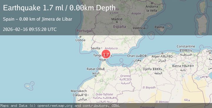
A 1.7 magnitude earthquake struck on STRAIT OF GIBRALTAR, at Mon, 16 Feb 2026 09:55:20 GMT. Depth: 0km. Reviewed by IGN seismologists, this minor quake occurred at a magnitude type of ml.
Magnitude
1.7
ml
Source
IGN
Intensity
-
Agency Reports
1 Sources| Source | Magnitude | Depth | Time |
|---|---|---|---|
| IGNPrimary | 1.7 | 0 km | 3 days ago |
Earthquake Details
AutomaticEvent IDemsc_IGN_20260216_0000141
Tsunami PotentialNo
Magnitude Typeml
Nearest Places
- Sierra del Palo0.9 km
- Jimera de Líbar2.4 km
- Jimera de Líbar2.8 km
- Llano de Libar3.5 km
- Cerro Bernal3.5 km
Comments
Join the discussion about this event.
Latest Earthquakes
3.4Mag
southern Peru
Time4 minutes ago
Depth204.47 km
SourceVYT (Automatic)
2.1Mag
SAN FRANCISCO BAY AREA, CALIF.
Time6 minutes ago
Depth6.40 km
SourceNC (Automatic)
2.4Mag
Fox Islands, Aleutian Islands, Alaska
Time7 minutes ago
Depth44.43 km
SourceVYT (Automatic)
2.4Mag
British Columbia, Canada
Time7 minutes ago
Depth3.91 km
SourceVYT (Automatic)
2.2Mag
Near North Coast of West Papua
Time7 minutes ago
Depth10.00 km
SourceBMKG
Nearby Earthquakes
1.8Mag
STRAIT OF GIBRALTAR
Time1 week ago
Depth0.00 km
SourceIGN (Automatic)
1.8Mag
STRAIT OF GIBRALTAR
Time1 week ago
Depth0.00 km
SourceIGN (Automatic)
1.8Mag
STRAIT OF GIBRALTAR
Time1 week ago
Depth10.00 km
SourceIGN (Automatic)
1.6Mag
STRAIT OF GIBRALTAR
Time5 days ago
Depth0.00 km
SourceIGN (Automatic)
2.8Mag
STRAIT OF GIBRALTAR
Time5 days ago
Depth0.00 km
SourceIGN (Automatic)