Earthquake STRAIT OF GIBRALTAR
Tue, 17 Feb 2026 01:36:28 GMT
Time3 days ago
Location
36.9790, -4.9605
Depth
6.1 KM
Event Summary
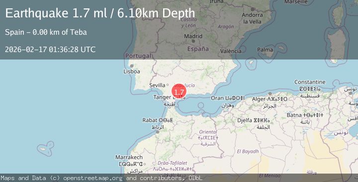
A 1.7 magnitude earthquake struck on STRAIT OF GIBRALTAR, at Tue, 17 Feb 2026 01:36:28 GMT. Depth: 6.1km. Reviewed by IGN seismologists, this minor quake occurred at a magnitude type of ml.
Magnitude
1.7
ml
Source
IGN
Intensity
-
Agency Reports
1 Sources| Source | Magnitude | Depth | Time |
|---|---|---|---|
| IGNPrimary | 1.7 | 6 km | 3 days ago |
Earthquake Details
AutomaticEvent IDemsc_IGN_20260217_0000041
Tsunami PotentialNo
Magnitude Typeml
Nearest Places
Comments
Join the discussion about this event.
Latest Earthquakes
3.4Mag
NORTH ISLAND OF NEW ZEALAND
Time22 hours ago
Depth146.90 km
SourceGNS (Automatic)
2.6Mag
WESTERN TURKEY
Time22 hours ago
Depth7.30 km
SourceKOERI (Automatic)
3.7Mag
YUNNAN, CHINA
Time22 hours ago
Depth10.00 km
SourceTSB (Automatic)
2.8Mag
WESTERN AUSTRALIA
Time22 hours ago
Depth10.00 km
SourceAUST (Automatic)
1.5Mag
Southern California
Time22 hours ago
Depth18.43 km
SourceVYT (Automatic)
Nearby Earthquakes
3.0Mag
STRAIT OF GIBRALTAR
Time18 years ago
Depth5.00 km
SourceEMSC (Automatic)
3.0Mag
STRAIT OF GIBRALTAR
Time21 years ago
Depth10.00 km
SourceEMSC (Automatic)
1.7Mag
STRAIT OF GIBRALTAR
Time3 days ago
Depth6.30 km
SourceIGN (Automatic)
3.0Mag
STRAIT OF GIBRALTAR
Time5 years ago
Depth20.00 km
SourceMDD (Automatic)
1.5Mag
STRAIT OF GIBRALTAR
Time1 day ago
Depth0.40 km
SourceIGN (Automatic)