Earthquake DODECANESE IS.-TURKEY BORDER REG
Wed, 21 Jan 2026 13:48:55 GMT
Time0 months ago
Location
36.4378, 28.7260
Depth
9.1 KM
Event Summary
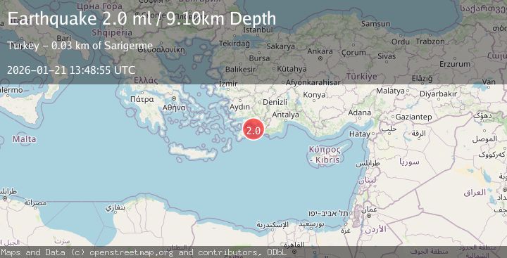
A 2.0 magnitude earthquake struck on DODECANESE IS.-TURKEY BORDER REG, at Wed, 21 Jan 2026 13:48:55 GMT. Depth: 9.1km. Reviewed by KOERI seismologists, this minor quake occurred at a magnitude type of ml.
Magnitude
2.0
ml
Source
KOERI
Intensity
-
Agency Reports
1 Sources| Source | Magnitude | Depth | Time |
|---|---|---|---|
| KOERIPrimary | 2.0 | 9 km | 0 months ago |
Earthquake Details
AutomaticEvent IDemsc_KOERI_20260121_0000261
Tsunami PotentialNo
Magnitude Typeml
Nearest Places
- Peksimet Adası16.8 km
- Kurtoğlu Burnu19.9 km
- Nar Adası21.4 km
- Güngörmez Burnu22.1 km
- Mount Suvela22.2 km
Comments
Join the discussion about this event.
Latest Earthquakes
2.3Mag
Northern Sumatra, Indonesia
Time3 minutes ago
Depth27.84 km
SourceBMKG
0.5Mag
Southern Alaska
Time3 minutes ago
Depth0.00 km
SourceVYT (Automatic)
3.8Mag
Tarapaca, Chile
Time7 minutes ago
Depth93.51 km
SourceVYT (Automatic)
2.5Mag
Ceram Sea
Time9 minutes ago
Depth3.27 km
SourceBMKG
2.1Mag
Halmahera, Indonesia
Time11 minutes ago
Depth4.45 km
SourceBMKG
Nearby Earthquakes
4.0Mag
DODECANESE IS.-TURKEY BORDER REG
Time11 months ago
Depth10.00 km
SourceEMSC (Automatic)
3.0Mag
DODECANESE IS.-TURKEY BORDER REG
Time7 years ago
Depth10.00 km
SourceEMSC (Automatic)
3.0Mag
DODECANESE IS.-TURKEY BORDER REG
Time7 years ago
Depth5.00 km
SourceEMSC (Automatic)
3.0Mag
DODECANESE IS.-TURKEY BORDER REG
Time7 years ago
Depth5.00 km
SourceEMSC (Automatic)
3.0Mag
DODECANESE IS.-TURKEY BORDER REG
Time6 years ago
Depth10.00 km
SourceEMSC (Automatic)