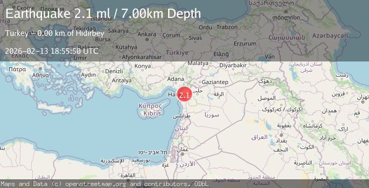
Earthquake TURKEY-SYRIA BORDER REGION
Fri, 13 Feb 2026 18:55:50 GMT
Time1 week ago
Location
36.2172, 36.0568
Depth
5.6 KM
Event Summary
A 2.1 magnitude earthquake struck on TURKEY-SYRIA BORDER REGION, at Fri, 13 Feb 2026 18:55:50 GMT. Depth: 5.6km. Reviewed by KOERI seismologists, this minor quake occurred at a magnitude type of ml.
Magnitude
2.1
ml
Source
KOERI
Intensity
-
Agency Reports
2 Sources| Source | Magnitude | Depth | Time |
|---|---|---|---|
| KOERIPrimary | 2.0 | 6 km | 1 week ago |
| AFAD | 2.1 | 7 km | 1 week ago |
Earthquake Details
AutomaticEvent IDemsc_KOERI_20260213_0000287
Tsunami PotentialNo
Magnitude Typeml
Nearest Places
- 1.5 km
- 2.0 km
- 2.4 km
- 2.6 km
- 2.7 km
Comments
Join the discussion about this event.
Latest Earthquakes
1.3Mag
4 km WSW of Daly City, CA
Time18 hours ago
Depth12.14 km
SourceUSGS (Automatic)
1.9Mag
Tarapaca, Chile
Time18 hours ago
Depth14.16 km
SourceVYT (Automatic)
1.5Mag
Tarapaca, Chile
Time18 hours ago
Depth12.94 km
SourceVYT (Automatic)
2.0Mag
Poland
Time18 hours ago
Depth6.35 km
SourceVYT (Automatic)
3.7Mag
north of Halmahera, Indonesia
Time18 hours ago
Depth1.22 km
SourceVYT (Automatic)
Nearby Earthquakes
3.0Mag
TURKEY-SYRIA BORDER REGION
Time2 years ago
Depth7.00 km
SourceISK (Automatic)
3.0Mag
TURKEY-SYRIA BORDER REGION
Time2 years ago
Depth10.00 km
SourceEMSC (Automatic)
3.0Mag
TURKEY-SYRIA BORDER REGION
Time15 years ago
Depth2.00 km
SourceEMSC (Automatic)
3.0Mag
TURKEY-SYRIA BORDER REGION
Time2 years ago
Depth7.60 km
SourceKOERI (Automatic)
3.0Mag
TURKEY-SYRIA BORDER REGION
Time3 years ago
Depth29.00 km
SourceISK (Automatic)