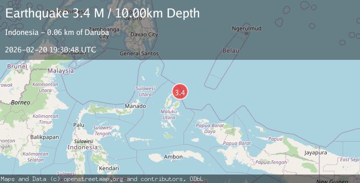
Earthquake north of Halmahera, Indonesia
Fri, 20 Feb 2026 19:30:38 GMT
Time1 hour ago
Location
3.0074, 128.9848
Depth
1.2 KM
Event Summary
A 3.7 magnitude earthquake struck on north of Halmahera, Indonesia, at Fri, 20 Feb 2026 19:30:38 GMT. Depth: 1.220703125km. Reviewed by VYT seismologists, this minor quake occurred at a magnitude type of earthquake.
Magnitude
3.7
earthquake
Source
VYT
Intensity
-
Agency Reports
1 Sources| Source | Magnitude | Depth | Time |
|---|---|---|---|
| VYTPrimary | 3.7 | 1 km | 1 hour ago |
Earthquake Details
AutomaticEvent IDvyt_xz54yha303dx
Tsunami PotentialNo
Magnitude Typeearthquake
Nearest Places
- 61.5 km
- 61.8 km
- 63.0 km
- 63.5 km
- 63.6 km
Comments
Join the discussion about this event.
Latest Earthquakes
3.1Mag
Halmahera, Indonesia
Time1 hour ago
Depth22.95 km
SourceVYT (Automatic)
2.4Mag
Fox Islands, Aleutian Islands, Alaska
Time1 hour ago
Depth14.04 km
SourceVYT (Automatic)
0.6Mag
13 km W of Entiat, Washington
Time1 hour ago
Depth-1.24 km
SourceUSGS
1.9Mag
Southern Alaska
Time1 hour ago
Depth94.24 km
SourceVYT (Automatic)
2.5Mag
Antofagasta, Chile
Time1 hour ago
Depth0.00 km
SourceVYT (Automatic)
Nearby Earthquakes
3.0Mag
HALMAHERA, INDONESIA
Time8 months ago
Depth10.00 km
SourceBMKG (Automatic)
3.7Mag
HALMAHERA, INDONESIA
Time1 month ago
Depth12.00 km
SourceBMKG (Automatic)
3.8Mag
HALMAHERA, INDONESIA
Time1 month ago
Depth10.00 km
SourceBMKG (Automatic)
3.5Mag
NORTH OF HALMAHERA, INDONESIA
Time1 month ago
Depth7.00 km
SourceBMKG (Automatic)
4.6Mag
HALMAHERA, INDONESIA
Time1 month ago
Depth35.00 km
SourceEMSC (Automatic)