Earthquake DODECANESE IS.-TURKEY BORDER REG
Mon, 23 Feb 2026 01:21:40 GMT
Time4 days ago
Location
36.9142, 28.0185
Depth
1.6 KM
Event Summary
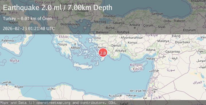
A 2.1 magnitude earthquake struck on DODECANESE IS.-TURKEY BORDER REG, at Mon, 23 Feb 2026 01:21:40 GMT. Depth: 1.6km. Reviewed by KOERI seismologists, this minor quake occurred at a magnitude type of ml.
Magnitude
2.1
ml
Source
KOERI
Intensity
-
Agency Reports
3 Sources| Source | Magnitude | Depth | Time |
|---|---|---|---|
| KOERIPrimary | 2.1 | 2 km | 4 days ago |
| AFAD | 2.0 | 7 km | 4 days ago |
| EMSC | 2.0 | 7 km | 4 days ago |
Earthquake Details
AutomaticEvent IDemsc_KOERI_20260223_0000015
Tsunami PotentialNo
Magnitude Typeml
Nearest Places
- 0.9 km
- 1.3 km
- 2.2 km
- 3.1 km
- 3.4 km
Comments
Join the discussion about this event.
Latest Earthquakes
2.5Mag
Southern Alaska
Time14 hours ago
Depth170.78 km
SourceVYT (Automatic)
1.4Mag
5 km NNW of The Geysers, CA
Time14 hours ago
Depth2.85 km
SourceUSGS (Automatic)
1.7Mag
16 km SE of Pāhala, Hawaii
Time14 hours ago
Depth39.80 km
SourceUSGS (Automatic)
2.0Mag
Bali Region, Indonesia
Time14 hours ago
Depth61.92 km
SourceBMKG
1.3Mag
Tarapaca, Chile
Time14 hours ago
Depth3.78 km
SourceVYT (Automatic)
Nearby Earthquakes
1.6Mag
DODECANESE IS.-TURKEY BORDER REG
Time1 day ago
Depth7.00 km
SourceAFAD (Automatic)
2.3Mag
DODECANESE IS.-TURKEY BORDER REG
Time1 month ago
Depth7.20 km
SourceAFAD (Automatic)
3.0Mag
DODECANESE ISLANDS, GREECE
Time19 years ago
Depth20.00 km
SourceEMSC (Automatic)
2.0Mag
DODECANESE IS.-TURKEY BORDER REG
Time1 month ago
Depth3.90 km
SourceKOERI (Automatic)
1.6Mag
DODECANESE IS.-TURKEY BORDER REG
Time16 hours ago
Depth13.20 km
SourceAFAD (Automatic)