Earthquake MYANMAR-INDIA BORDER REGION
Sat, 17 Jan 2026 23:22:20 GMT
Time1 month ago
Location
23.7000, 93.7900
Depth
65.0 KM
Event Summary
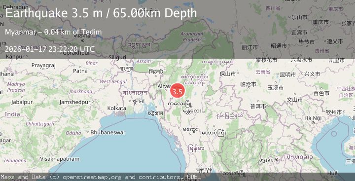
A 3.5 magnitude earthquake struck on MYANMAR-INDIA BORDER REGION, at Sat, 17 Jan 2026 23:22:20 GMT. Depth: 65km. Reviewed by NDI seismologists, this minor quake occurred at a magnitude type of m.
Magnitude
3.5
m
Source
NDI
Intensity
-
Agency Reports
1 Sources| Source | Magnitude | Depth | Time |
|---|---|---|---|
| NDIPrimary | 3.5 | 65 km | 1 month ago |
Earthquake Details
AutomaticEvent IDemsc_NDI_20260117_0000291
Tsunami PotentialNo
Magnitude Typem
Comments
Join the discussion about this event.
Latest Earthquakes
1.5Mag
Tarapaca, Chile
Time6 minutes ago
Depth88.01 km
SourceVYT (Automatic)
4.3Mag
Eastern Anatolia Region, Turkey
Time8 minutes ago
Depth85.82 km
SourceVYT (Automatic)
3.0Mag
SOUTH ISLAND OF NEW ZEALAND
Time9 minutes ago
Depth65.80 km
SourceGNS (Automatic)
0.5Mag
10 km S of Idyllwild, CA
Time12 minutes ago
Depth15.40 km
SourceUSGS (Automatic)
4.0Mag
Central Greece
Time13 minutes ago
Depth10.00 km
SourceVYT (Automatic)
Nearby Earthquakes
2.8Mag
MYANMAR-INDIA BORDER REGION
Time1 week ago
Depth35.00 km
SourceNDI (Automatic)
5.1Mag
MYANMAR
Time12 years ago
Depth56.00 km
SourceEMSC (Automatic)
5.6Mag
MYANMAR-INDIA BORDER REGION
Time11 years ago
Depth40.00 km
SourceEMSC (Automatic)
4.0Mag
MYANMAR-INDIA BORDER REGION
Time3 years ago
Depth13.00 km
SourceNDI (Automatic)
4.0Mag
MYANMAR-INDIA BORDER REGION
Time10 months ago
Depth10.00 km
SourceNDI (Automatic)