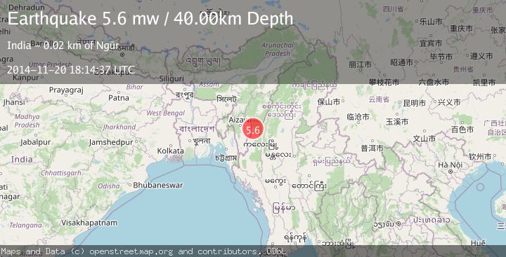
Earthquake MYANMAR-INDIA BORDER REGION
Thu, 20 Nov 2014 18:14:37 GMT
Time11 years ago
Location
23.5600, 93.5300
Depth
40.0 KM
Event Summary
A 5.6 magnitude earthquake struck on MYANMAR-INDIA BORDER REGION, at Thu, 20 Nov 2014 18:14:37 GMT. Depth: 40km. Reviewed by EMSC seismologists, this moderate quake occurred at a magnitude type of mw.
Magnitude
5.6
mw
Source
EMSC
Intensity
-
Agency Reports
1 Sources| Source | Magnitude | Depth | Time |
|---|---|---|---|
| EMSCPrimary | 5.6 | 40 km | 11 years ago |
Earthquake Details
AutomaticEvent IDemsc_EMSC_20141120_0000060
Tsunami PotentialNo
Magnitude Typemw
Comments
Join the discussion about this event.
Latest Earthquakes
0.8Mag
15 km NE of Little Lake, CA
Time15 minutes ago
Depth1.26 km
SourceUSGS (Automatic)
1.9Mag
STRAIT OF GIBRALTAR
Time15 minutes ago
Depth0.00 km
SourceIGN (Automatic)
1.3Mag
Southern Alaska
Time16 minutes ago
Depth31.98 km
SourceVYT (Automatic)
2.7Mag
GREECE
Time21 minutes ago
Depth14.30 km
SourceNOA (Automatic)
2.5Mag
Valparaiso, Chile
Time32 minutes ago
Depth64.70 km
SourceVYT (Automatic)
Nearby Earthquakes
3.3Mag
MYANMAR-INDIA BORDER REGION
Time6 days ago
Depth31.10 km
SourceNDI (Automatic)
3.5Mag
MYANMAR-INDIA BORDER REGION
Time1 month ago
Depth65.00 km
SourceNDI (Automatic)
4.0Mag
MYANMAR-INDIA BORDER REGION
Time3 years ago
Depth13.00 km
SourceNDI (Automatic)
3.3Mag
MYANMAR-INDIA BORDER REGION
Time1 month ago
Depth45.00 km
SourceNDI (Automatic)
5.4Mag
MYANMAR-INDIA BORDER REGION
Time5 years ago
Depth10.00 km
SourceEMSC (Automatic)