Earthquake MYANMAR
Thu, 29 Jan 2026 08:01:55 GMT
Time3 months ago
Location
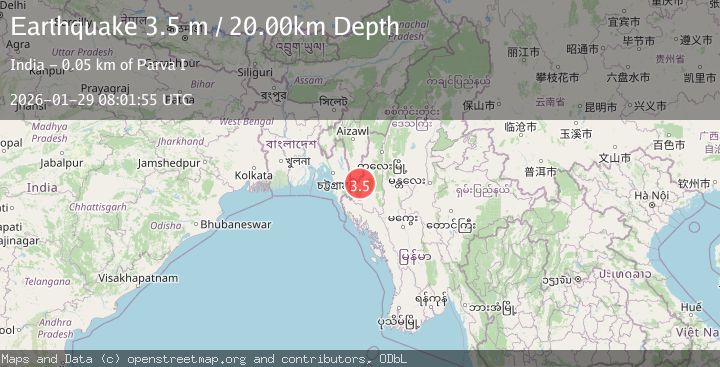
21.9100, 93.0600
Depth
20.0 KM
Event Summary
A 3.5 magnitude earthquake struck on MYANMAR, at Thu, 29 Jan 2026 08:01:55 GMT. Depth: 20km. Reviewed by NDI seismologists, this minor quake occurred at a magnitude type of m.
Magnitude
3.5
m
Source
NDI
Intensity
II
Agency Reports
1 Sources| Source | Magnitude | Depth | Time |
|---|---|---|---|
| NDIPrimary | 3.5 | 20 km | 3 months ago |
Earthquake Details
AutomaticEvent IDemsc_NDI_20260129_0000333
QualityS
Tsunami PotentialNo
Magnitude Typem
Last Update2 months ago
Nearest Places
Possibly felt by: 2.1K
- 65.2 km22.7K people
Felt Reports0
Did you feel this earthquake? Report it to help others.
No reports yet
Be the first to report this earthquake!
Latest Earthquakes
Loading...
Nearby Earthquakes
3.4Mag
MYANMAR-INDIA BORDER REGION
Time1 month ago
Depth22.00 km
SourceNDI (Automatic)
4.8Mag
MYANMAR
Time1 month ago
Depth56.00 km
SourceEMSC (Automatic)
3.4Mag
MYANMAR-INDIA BORDER REGION
Time2 months ago
Depth90.00 km
SourceNDI (Automatic)
3.6Mag
MYANMAR-INDIA BORDER REGION
Time3 months ago
Depth45.00 km
SourceNDI (Automatic)
3.9Mag
INDIA-BANGLADESH BORDER REGION
Time4 months ago
Depth10.00 km
SourceNDI (Automatic)