Earthquake MYANMAR-INDIA BORDER REGION
Fri, 30 Jan 2026 20:44:33 GMT
Time1 month ago
Location
26.3800, 95.3000
Depth
80.0 KM
Event Summary
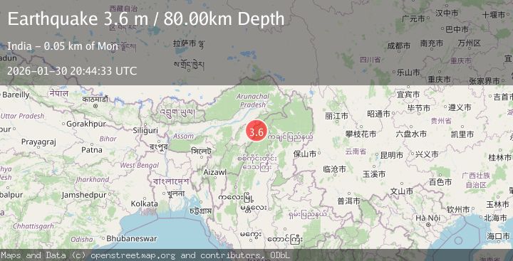
A 3.6 magnitude earthquake struck on MYANMAR-INDIA BORDER REGION, at Fri, 30 Jan 2026 20:44:33 GMT. Depth: 80km. Reviewed by NDI seismologists, this minor quake occurred at a magnitude type of m.
Magnitude
3.6
m
Source
NDI
Intensity
I
Agency Reports
1 Sources| Source | Magnitude | Depth | Time |
|---|---|---|---|
| NDIPrimary | 3.6 | 80 km | 1 month ago |
Earthquake Details
AutomaticEvent IDemsc_NDI_20260130_0000363
QualityS
Tsunami PotentialNo
Magnitude Typem
Last Update1 month ago
Felt Reports0
Did you feel this earthquake? Report it to help others.
No reports yet
Be the first to report this earthquake!
Latest Earthquakes
Loading...
Nearby Earthquakes
3.5Mag
MYANMAR
Time14 hours ago
Depth10.00 km
SourceNDI (Automatic)
3.4Mag
ASSAM - NAGALAND REGION, INDIA
Time1 day ago
Depth15.00 km
SourceNDI (Automatic)
2.8Mag
ASSAM - NAGALAND REGION, INDIA
Time1 week ago
Depth5.00 km
SourceNDI (Automatic)
2.9Mag
ASSAM - NAGALAND REGION, INDIA
Time3 weeks ago
Depth5.00 km
SourceNDI (Automatic)
3.0Mag
MYANMAR
Time3 weeks ago
Depth96.00 km
SourceNDI (Automatic)