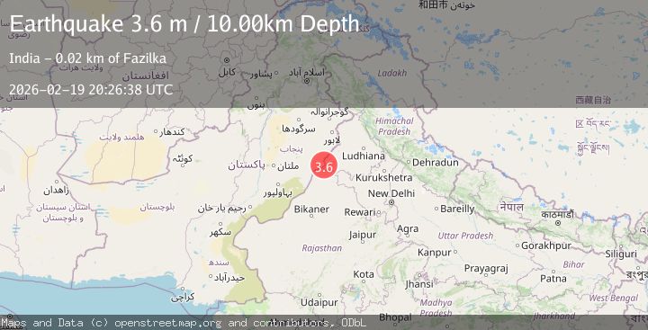
Earthquake INDIA-PAKISTAN BORDER REGION
Thu, 19 Feb 2026 20:26:38 GMT
Time12 hours ago
Location
30.2100, 73.9300
Depth
10.0 KM
Event Summary
A 3.6 magnitude earthquake struck on INDIA-PAKISTAN BORDER REGION, at Thu, 19 Feb 2026 20:26:38 GMT. Depth: 10km. Reviewed by NDI seismologists, this minor quake occurred at a magnitude type of m.
Magnitude
3.6
m
Source
NDI
Intensity
-
Agency Reports
1 Sources| Source | Magnitude | Depth | Time |
|---|---|---|---|
| NDIPrimary | 3.6 | 10 km | 12 hours ago |
Earthquake Details
AutomaticEvent IDemsc_NDI_20260219_0000329
Tsunami PotentialNo
Magnitude Typem
Nearest Places
- Jajjal Sarhu1.2 km
- Jijjal Musa1.7 km
- Bareka Khu1.9 km
- Dhinganwali2.3 km
- Jandwala2.6 km
Comments
Join the discussion about this event.
Latest Earthquakes
2.6Mag
Andreanof Islands, Aleutian Islands, Alaska
Time12 hours ago
Depth13.06 km
SourceVYT (Automatic)
2.2Mag
Central Alaska
Time12 hours ago
Depth0.00 km
SourceVYT (Automatic)
2.2Mag
Tarapaca, Chile
Time12 hours ago
Depth88.01 km
SourceVYT (Automatic)
2.1Mag
Poland
Time12 hours ago
Depth0.12 km
SourceVYT (Automatic)
1.1Mag
3 km WSW of Cobb, CA
Time12 hours ago
Depth1.86 km
SourceUSGS (Automatic)
Nearby Earthquakes
4.0Mag
PAKISTAN
Time2 years ago
Depth80.00 km
SourceNDI (Automatic)
3.9Mag
RAJASTHAN, INDIA
Time2 weeks ago
Depth136.80 km
SourceNDI (Automatic)
4.3Mag
SOUTHWESTERN KASHMIR
Time3 weeks ago
Depth360.10 km
SourceNDI (Automatic)
4.0Mag
PAKISTAN
Time4 years ago
Depth23.00 km
SourceNDI (Automatic)
3.0Mag
KASHMIR-INDIA BORDER REGION
Time8 years ago
Depth10.00 km
SourceNDI (Automatic)