Earthquake KEPULAUAN BARAT DAYA, INDONESIA
Fri, 12 Nov 2004 06:42:31 GMT
Time21 years ago
Location
-7.2900, 128.2900
Depth
10.0 KM
Event Summary
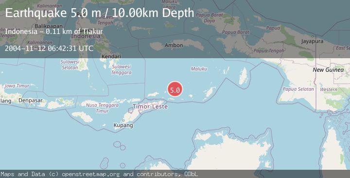
A 5.0 magnitude earthquake struck on KEPULAUAN BARAT DAYA, INDONESIA, at Fri, 12 Nov 2004 06:42:31 GMT. Depth: 10km. Reviewed by NEIC seismologists, this moderate quake occurred at a magnitude type of m.
Magnitude
5.0
m
Source
NEIC
Intensity
-
Agency Reports
1 Sources| Source | Magnitude | Depth | Time |
|---|---|---|---|
| NEICPrimary | 5.0 | 10 km | 21 years ago |
Earthquake Details
AutomaticEvent IDemsc_NEIC_20041112_0000022
Tsunami PotentialNo
Magnitude Typem
Nearest Places
- Pulau Musleur14.3 km
- Pulau Terbang Utara30.1 km
- Pulau Terbang Selatan30.9 km
- Tanjung Tutitlakani31.1 km
- Desa Batu Merah33.5 km
Comments
Join the discussion about this event.
Latest Earthquakes
1.4Mag
12 km SSW of Salton City, CA
Time12 hours ago
Depth5.74 km
SourceUSGS (Automatic)
1.2Mag
Southern Alaska
Time12 hours ago
Depth37.11 km
SourceVYT (Automatic)
3.0Mag
Seram, Indonesia
Time12 hours ago
Depth12.36 km
SourceBMKG
1.1Mag
Washington
Time12 hours ago
Depth9.64 km
SourceVYT (Automatic)
1.3Mag
WESTERN TURKEY
Time12 hours ago
Depth8.60 km
SourceAFAD (Automatic)
Nearby Earthquakes
5.3Mag
KEPULAUAN BARAT DAYA, INDONESIA
Time20 years ago
Depth180.00 km
SourceEMSC (Automatic)
5.2Mag
KEPULAUAN BARAT DAYA, INDONESIA
Time12 years ago
Depth10.00 km
SourceEMSC (Automatic)
3.0Mag
Banda Sea
Time1 week ago
Depth211.06 km
SourceVYT (Automatic)
5.6Mag
KEPULAUAN BARAT DAYA, INDONESIA
Time18 years ago
Depth114.00 km
SourceEMSC (Automatic)
5.6Mag
KEPULAUAN BARAT DAYA, INDONESIA
Time4 months ago
Depth149.00 km
SourceEMSC (Automatic)