Earthquake KEPULAUAN BARAT DAYA, INDONESIA
Mon, 03 Feb 2014 20:37:15 GMT
Time12 years ago
Location
-7.2000, 128.2900
Depth
10.0 KM
Event Summary
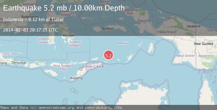
A 5.2 magnitude earthquake struck on KEPULAUAN BARAT DAYA, INDONESIA, at Mon, 03 Feb 2014 20:37:15 GMT. Depth: 10km. Reviewed by EMSC seismologists, this moderate quake occurred at a magnitude type of mb.
Magnitude
5.2
mb
Source
EMSC
Intensity
-
Agency Reports
1 Sources| Source | Magnitude | Depth | Time |
|---|---|---|---|
| EMSCPrimary | 5.2 | 10 km | 12 years ago |
Earthquake Details
AutomaticEvent IDemsc_EMSC_20140203_0000130
Tsunami PotentialNo
Magnitude Typemb
Nearest Places
- Pulau Musleur12.2 km
- Tanjung Tutitlakani27.2 km
- Desa Batu Merah29.7 km
- Pulau Terbang Utara31.9 km
- Desa Kumur32.8 km
Comments
Join the discussion about this event.
Latest Earthquakes
1.2Mag
19 km NNE of Indio, CA
Time2 minutes ago
Depth4.01 km
SourceUSGS (Automatic)
2.5Mag
northwestern Russia
Time5 minutes ago
Depth0.00 km
SourceVYT (Automatic)
1.8Mag
54 km S of Whites City, New Mexico
Time6 minutes ago
Depth6.07 km
SourceUSGS (Automatic)
2.0Mag
Arizona
Time9 minutes ago
Depth8.18 km
SourceVYT (Automatic)
2.9Mag
Bosnia and Herzegovina
Time12 minutes ago
Depth268.68 km
SourceVYT (Automatic)
Nearby Earthquakes
5.9Mag
KEPULAUAN BARAT DAYA, INDONESIA
Time12 years ago
Depth10.00 km
SourceEMSC (Automatic)
3.0Mag
Banda Sea
Time1 week ago
Depth211.06 km
SourceVYT (Automatic)
5.0Mag
KEPULAUAN BARAT DAYA, INDONESIA
Time21 years ago
Depth10.00 km
SourceNEIC (Automatic)
4.0Mag
Banda Sea
Time3 weeks ago
Depth185.83 km
SourceBMKG (Automatic)
5.1Mag
KEPULAUAN BARAT DAYA, INDONESIA
Time12 years ago
Depth4.00 km
SourceEMSC (Automatic)