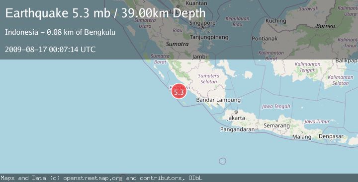
Earthquake SOUTHERN SUMATRA, INDONESIA
Mon, 17 Aug 2009 00:07:14 GMT
Time16 years ago
Location
-4.3200, 101.8100
Depth
39.0 KM
Event Summary
A 5.3 magnitude earthquake struck on SOUTHERN SUMATRA, INDONESIA, at Mon, 17 Aug 2009 00:07:14 GMT. Depth: 39km. Reviewed by NEIC seismologists, this moderate quake occurred at a magnitude type of mb.
Magnitude
5.3
mb
Source
NEIC
Intensity
-
Agency Reports
1 Sources| Source | Magnitude | Depth | Time |
|---|---|---|---|
| NEICPrimary | 5.3 | 39 km | 16 years ago |
Earthquake Details
AutomaticEvent IDemsc_NEIC_20090817_0000044
Tsunami PotentialNo
Magnitude Typemb
Nearest Places
- Mentawai Trough49.5 km
- Lebar Reef59.7 km
- Pulau Tikus67.0 km
- Kelurahan Teluk Sepang67.8 km
- Pondokkapur68.1 km
Comments
Join the discussion about this event.
Latest Earthquakes
2.2Mag
PORTUGAL
Time6 minutes ago
Depth12.00 km
SourceIPMA (Automatic)
4.2Mag
Fox Islands, Aleutian Islands, Alaska
Time7 minutes ago
Depth0.00 km
SourceVYT (Automatic)
1.8Mag
Sweden
Time7 minutes ago
Depth0.00 km
SourceVYT (Automatic)
2.0Mag
Bali Region, Indonesia
Time8 minutes ago
Depth73.97 km
SourceBMKG
2.5Mag
Java, Indonesia
Time9 minutes ago
Depth38.78 km
SourceBMKG
Nearby Earthquakes
4.0Mag
SOUTHERN SUMATRA, INDONESIA
Time5 years ago
Depth11.00 km
SourceDJA (Automatic)
4.0Mag
SOUTHERN SUMATRA, INDONESIA
Time3 years ago
Depth10.00 km
SourceNEIC (Automatic)
3.0Mag
SOUTHERN SUMATRA, INDONESIA
Time5 years ago
Depth10.00 km
SourceDJA (Automatic)
5.1Mag
SOUTHERN SUMATRA, INDONESIA
Time8 years ago
Depth60.00 km
SourceEMSC (Automatic)
5.3Mag
SOUTHERN SUMATRA, INDONESIA
Time15 years ago
Depth42.00 km
SourceEMSC (Automatic)