Earthquake SOUTH OF KERMADEC ISLANDS
Thu, 17 May 2018 21:43:10 GMT
Time7 years ago
Location
-32.0800, -179.9800
Depth
238.0 KM
Event Summary
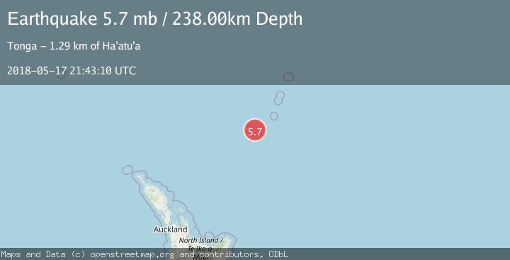
A 5.7 magnitude earthquake struck on SOUTH OF KERMADEC ISLANDS, at Thu, 17 May 2018 21:43:10 GMT. Depth: 238km. Reviewed by NEIC seismologists, this moderate quake occurred at a magnitude type of mb.
Magnitude
5.7
mb
Source
NEIC
Intensity
-
Agency Reports
1 Sources| Source | Magnitude | Depth | Time |
|---|---|---|---|
| NEICPrimary | 5.7 | 238 km | 7 years ago |
Earthquake Details
AutomaticEvent IDemsc_NEIC_20180517_0000160
Tsunami PotentialNo
Magnitude Typemb
Nearest Places
- Oliver Knoll45.4 km
- Speight Knoll50.2 km
- Haungaroa Seamount68.3 km
- Havre Trough78.8 km
- Star of Bengal Bank90.8 km
Comments
Join the discussion about this event.
Latest Earthquakes
2.3Mag
Potosi, Bolivia
Time1 minute ago
Depth166.38 km
SourceVYT (Automatic)
2.5Mag
Java, Indonesia
Time4 minutes ago
Depth16.27 km
SourceBMKG
3.2Mag
Tarapaca, Chile
Time7 minutes ago
Depth111.21 km
SourceVYT (Automatic)
2.0Mag
CENTRAL TURKEY
Time13 minutes ago
Depth3.40 km
SourceKOERI (Automatic)
2.7Mag
Central Alaska
Time15 minutes ago
Depth82.89 km
SourceVYT (Automatic)
Nearby Earthquakes
4.0Mag
SOUTH OF KERMADEC ISLANDS
Time5 years ago
Depth339.00 km
SourceEMSC (Automatic)
4.0Mag
SOUTH OF KERMADEC ISLANDS
Time3 years ago
Depth300.00 km
SourceGNS (Automatic)
4.0Mag
KERMADEC ISLANDS REGION
Time5 years ago
Depth490.00 km
SourceGNS (Automatic)
4.0Mag
KERMADEC ISLANDS REGION
Time4 years ago
Depth224.00 km
SourceGNS (Automatic)
5.2Mag
SOUTH OF KERMADEC ISLANDS
Time16 years ago
Depth339.00 km
SourceEMSC (Automatic)