Earthquake SOUTHERN YUKON TERRITORY, CANADA
Mon, 18 Jun 2018 13:21:38 GMT
Time7 years ago
Location
60.8000, -137.9500
Depth
5.0 KM
Event Summary
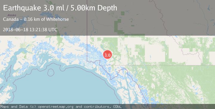
A 3.0 magnitude earthquake struck on SOUTHERN YUKON TERRITORY, CANADA, at Mon, 18 Jun 2018 13:21:38 GMT. Depth: 5km. Reviewed by NEIC seismologists, this minor quake occurred at a magnitude type of ml.
Magnitude
3.0
ml
Source
NEIC
Intensity
-
Agency Reports
1 Sources| Source | Magnitude | Depth | Time |
|---|---|---|---|
| NEICPrimary | 3.0 | 5 km | 7 years ago |
Earthquake Details
AutomaticEvent IDemsc_NEIC_20180618_0000474
Tsunami PotentialNo
Magnitude Typeml
Nearest Places
- Mount Archibald4.8 km
- Mount Decoeli5.2 km
- Kimberley Creek9.3 km
- Telluride Creek9.5 km
- Jarvis River11.7 km
Comments
Join the discussion about this event.
Latest Earthquakes
2.0Mag
Central California
Time21 hours ago
Depth0.00 km
SourceVYT (Automatic)
0.7Mag
4 km NW of The Geysers, CA
Time21 hours ago
Depth3.05 km
SourceUSGS (Automatic)
2.7Mag
northern Colombia
Time21 hours ago
Depth73.00 km
SourceVYT (Automatic)
1.8Mag
2 km SW of Pāhala, Hawaii
Time21 hours ago
Depth29.79 km
SourceUSGS (Automatic)
1.0Mag
4 km W of Lake Henshaw, CA
Time21 hours ago
Depth12.06 km
SourceUSGS (Automatic)
Nearby Earthquakes
3.0Mag
SOUTHERN YUKON TERRITORY, CANADA
Time3 years ago
Depth8.00 km
SourceNEIC (Automatic)
3.0Mag
SOUTHERN YUKON TERRITORY, CANADA
Time8 years ago
Depth0.00 km
SourceNEIR (Automatic)
3.0Mag
SOUTHERN YUKON TERRITORY, CANADA
Time2 years ago
Depth10.00 km
SourceNEIC (Automatic)
3.0Mag
SOUTHERN YUKON TERRITORY, CANADA
Time11 months ago
Depth9.10 km
SourceCN (Automatic)
3.0Mag
SOUTHERN YUKON TERRITORY, CANADA
Time8 years ago
Depth15.00 km
SourceNEIR (Automatic)