Earthquake HALMAHERA, INDONESIA
Mon, 02 Jul 2018 16:23:57 GMT
Time7 years ago
Location
1.5200, 127.2500
Depth
112.0 KM
Event Summary
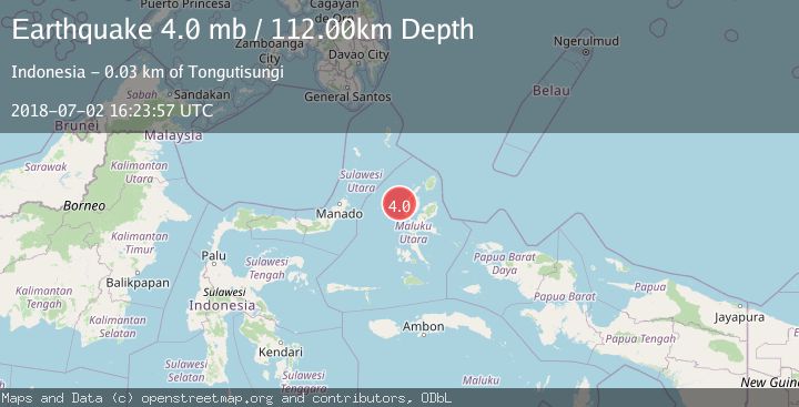
A 4.0 magnitude earthquake struck on HALMAHERA, INDONESIA, at Mon, 02 Jul 2018 16:23:57 GMT. Depth: 112km. Reviewed by NEIC seismologists, this light quake occurred at a magnitude type of mb.
Magnitude
4.0
mb
Source
NEIC
Intensity
-
Agency Reports
1 Sources| Source | Magnitude | Depth | Time |
|---|---|---|---|
| NEICPrimary | 4.0 | 112 km | 7 years ago |
Earthquake Details
AutomaticEvent IDemsc_NEIC_20180702_0000499
Tsunami PotentialNo
Magnitude Typemb
Nearest Places
- Nyi18.5 km
- Tanjung Liguamadehe29.2 km
- Nusa Nyaolaka29.8 km
- Nusa Pici29.8 km
- Ibu30.2 km
Comments
Join the discussion about this event.
Latest Earthquakes
3.0Mag
Southern Alaska
Time2 minutes ago
Depth53.34 km
SourceVYT (Automatic)
1.9Mag
Tarapaca, Chile
Time3 minutes ago
Depth0.00 km
SourceVYT (Automatic)
2.4Mag
Sulawesi, Indonesia
Time11 minutes ago
Depth4.26 km
SourceBMKG
2.2Mag
Northern Sumatra, Indonesia
Time15 minutes ago
Depth8.25 km
SourceBMKG
2.5Mag
CRETE, GREECE
Time22 minutes ago
Depth17.50 km
SourceNOA (Automatic)
Nearby Earthquakes
4.0Mag
HALMAHERA, INDONESIA
Time4 years ago
Depth132.00 km
SourceNEIC (Automatic)
5.3Mag
HALMAHERA, INDONESIA
Time15 years ago
Depth103.00 km
SourceEMSC (Automatic)
5.4Mag
HALMAHERA, INDONESIA
Time3 months ago
Depth130.00 km
SourceEMSC (Automatic)
5.2Mag
HALMAHERA, INDONESIA
Time10 years ago
Depth108.00 km
SourceEMSC (Automatic)
3.1Mag
Halmahera, Indonesia
Time2 weeks ago
Depth122.31 km
SourceBMKG (Automatic)