Earthquake SOUTHERN ALASKA
Mon, 10 Dec 2018 22:25:04 GMT
Time7 years ago
Location
61.3900, -150.0700
Depth
48.0 KM
Event Summary
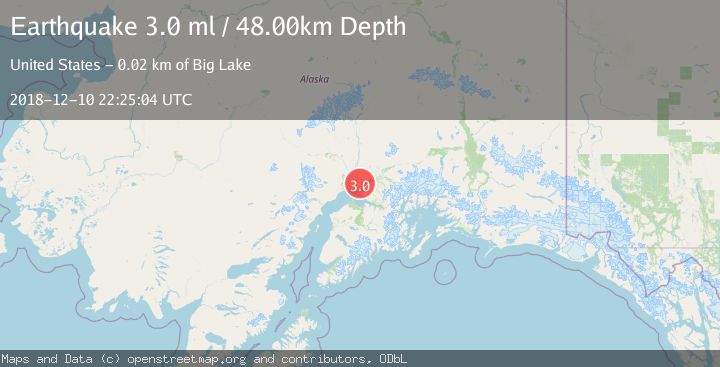
A 3.0 magnitude earthquake struck on SOUTHERN ALASKA, at Mon, 10 Dec 2018 22:25:04 GMT. Depth: 48km. Reviewed by NEIC seismologists, this minor quake occurred at a magnitude type of ml.
Magnitude
3.0
ml
Source
NEIC
Intensity
-
Agency Reports
1 Sources| Source | Magnitude | Depth | Time |
|---|---|---|---|
| NEICPrimary | 3.0 | 48 km | 7 years ago |
Earthquake Details
AutomaticEvent IDemsc_NEIC_20181210_0000100
Tsunami PotentialNo
Magnitude Typeml
Nearest Places
- Farmer Lake2.6 km
- Robin's Landing Airport2.8 km
- Point MacKenzie Correctional Farm3.1 km
- Barley Lake3.1 km
- Butterfly Lake3.2 km
Comments
Join the discussion about this event.
Latest Earthquakes
1.6Mag
Kenai Peninsula, Alaska
Time4 minutes ago
Depth42.60 km
SourceVYT (Automatic)
2.4Mag
Finland
Time7 minutes ago
Depth301.88 km
SourceVYT (Automatic)
1.2Mag
Alaska Peninsula
Time8 minutes ago
Depth0.12 km
SourceVYT (Automatic)
4.1Mag
NEAR COAST OF NORTHERN PERU
Time12 minutes ago
Depth35.00 km
SourceLIM (Automatic)
3.1Mag
DODECANESE IS.-TURKEY BORDER REG
Time14 minutes ago
Depth4.10 km
SourceKOERI (Automatic)
Nearby Earthquakes
3.0Mag
SOUTHERN ALASKA
Time7 years ago
Depth39.00 km
SourceNEIR (Automatic)
3.0Mag
SOUTHERN ALASKA
Time7 years ago
Depth46.00 km
SourceNEIR (Automatic)
3.0Mag
SOUTHERN ALASKA
Time7 years ago
Depth41.00 km
SourceNEIC (Automatic)
3.0Mag
SOUTHERN ALASKA
Time7 years ago
Depth36.00 km
SourceNEIR (Automatic)
3.0Mag
SOUTHERN ALASKA
Time3 years ago
Depth35.00 km
SourceNEIC (Automatic)