Earthquake ISLAND OF HAWAII, HAWAII
Fri, 14 Feb 2020 13:44:49 GMT
Time6 years ago
Location
19.2400, -155.4300
Depth
35.0 KM
Event Summary
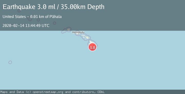
A 3.0 magnitude earthquake struck on ISLAND OF HAWAII, HAWAII, at Fri, 14 Feb 2020 13:44:49 GMT. Depth: 35km. Reviewed by NEIC seismologists, this minor quake occurred at a magnitude type of ml.
Magnitude
3.0
ml
Source
NEIC
Intensity
-
Agency Reports
1 Sources| Source | Magnitude | Depth | Time |
|---|---|---|---|
| NEICPrimary | 3.0 | 35 km | 6 years ago |
Earthquake Details
AutomaticEvent IDemsc_NEIC_20200214_0000102
Tsunami PotentialNo
Magnitude Typeml
Nearest Places
- Pu‘unāhāhā1.5 km
- Great Crack2.1 km
- Red Cones2.1 km
- Ka‘ala‘alamakai2.7 km
- Holua Slide3.2 km
Comments
Join the discussion about this event.
Latest Earthquakes
2.7Mag
Tarapaca, Chile
Time1 minute ago
Depth47.00 km
SourceVYT (Automatic)
1.3Mag
Southeastern Alaska
Time2 minutes ago
Depth0.00 km
SourceVYT (Automatic)
1.5Mag
British Columbia, Canada
Time4 minutes ago
Depth25.88 km
SourceVYT (Automatic)
2.9Mag
CENTRAL TURKEY
Time6 minutes ago
Depth7.00 km
SourceAFAD (Automatic)
2.9Mag
Antofagasta, Chile
Time9 minutes ago
Depth109.25 km
SourceVYT (Automatic)
Nearby Earthquakes
3.0Mag
ISLAND OF HAWAII, HAWAII
Time3 years ago
Depth36.00 km
SourceNEIC (Automatic)
3.0Mag
ISLAND OF HAWAII, HAWAII
Time4 years ago
Depth43.00 km
SourceNEIC (Automatic)
3.0Mag
ISLAND OF HAWAII, HAWAII
Time3 years ago
Depth35.00 km
SourceNEIC (Automatic)
3.0Mag
ISLAND OF HAWAII, HAWAII
Time3 years ago
Depth35.00 km
SourceNEIC (Automatic)
3.0Mag
ISLAND OF HAWAII, HAWAII
Time4 years ago
Depth41.00 km
SourceNEIC (Automatic)