Earthquake SOUTHERN ALASKA
Sat, 12 Dec 2020 11:17:37 GMT
Time5 years ago
Location
59.9700, -153.3700
Depth
130.0 KM
Event Summary
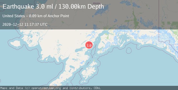
A 3.0 magnitude earthquake struck on SOUTHERN ALASKA, at Sat, 12 Dec 2020 11:17:37 GMT. Depth: 130km. Reviewed by NEIC seismologists, this minor quake occurred at a magnitude type of ml.
Magnitude
3.0
ml
Source
NEIC
Intensity
-
Agency Reports
1 Sources| Source | Magnitude | Depth | Time |
|---|---|---|---|
| NEICPrimary | 3.0 | 130 km | 5 years ago |
Earthquake Details
AutomaticEvent IDemsc_NEIC_20201212_0000075
Tsunami PotentialNo
Magnitude Typeml
Nearest Places
- Roscoe Glacier2.6 km
- Holland Creek5.8 km
- Left Fork West Glacier Creek6.5 km
- Right Fork West Glacier Creek6.5 km
- Brown Mountain10.2 km
Comments
Join the discussion about this event.
Latest Earthquakes
2.4Mag
Finland-Russia border region
Time2 minutes ago
Depth341.92 km
SourceVYT (Automatic)
0.9Mag
8 km W of Cobb, CA
Time7 minutes ago
Depth1.53 km
SourceUSGS (Automatic)
1.8Mag
Central Alaska
Time9 minutes ago
Depth2.08 km
SourceVYT (Automatic)
2.9Mag
WESTERN TURKEY
Time12 minutes ago
Depth11.80 km
SourceKOERI (Automatic)
2.8Mag
Sulawesi, Indonesia
Time13 minutes ago
Depth21.08 km
SourceBMKG
Nearby Earthquakes
3.0Mag
SOUTHERN ALASKA
Time6 years ago
Depth126.00 km
SourceNEIC (Automatic)
5.5Mag
SOUTHERN ALASKA
Time7 years ago
Depth146.00 km
SourceEMSC (Automatic)
2.6Mag
SOUTHERN ALASKA
Time2 months ago
Depth135.60 km
SourceNEIC (Automatic)
2.5Mag
SOUTHERN ALASKA
Time1 month ago
Depth157.70 km
SourceNEIC (Automatic)
3.0Mag
SOUTHERN ALASKA
Time4 years ago
Depth150.00 km
SourceNEIC (Automatic)