Earthquake ISLAND OF HAWAII, HAWAII
Tue, 12 Jan 2021 16:24:19 GMT
Time5 years ago
Location
19.2600, -155.4100
Depth
36.0 KM
Event Summary
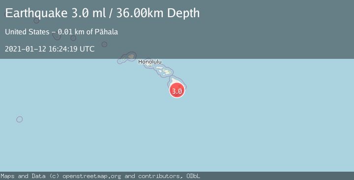
A 3.0 magnitude earthquake struck on ISLAND OF HAWAII, HAWAII, at Tue, 12 Jan 2021 16:24:19 GMT. Depth: 36km. Reviewed by NEIC seismologists, this minor quake occurred at a magnitude type of ml.
Magnitude
3.0
ml
Source
NEIC
Intensity
-
Agency Reports
1 Sources| Source | Magnitude | Depth | Time |
|---|---|---|---|
| NEICPrimary | 3.0 | 36 km | 5 years ago |
Earthquake Details
AutomaticEvent IDemsc_NEIC_20210112_0000165
Tsunami PotentialNo
Magnitude Typeml
Nearest Places
- Red Cones1.3 km
- Pu‘unāhāhā1.6 km
- Yellow Cone3.1 km
- Kealaalea Hills3.2 km
- Pu‘ukou3.6 km
Comments
Join the discussion about this event.
Latest Earthquakes
1.0Mag
Alaska Peninsula
Time2 minutes ago
Depth0.61 km
SourceVYT (Automatic)
2.0Mag
western Texas
Time3 minutes ago
Depth0.00 km
SourceVYT (Automatic)
2.8Mag
OFFSHORE EL SALVADOR
Time5 minutes ago
Depth18.00 km
SourceINET (Automatic)
1.6Mag
Pyrenees
Time10 minutes ago
Depth0.00 km
SourceVYT (Automatic)
1.0Mag
110 km S of McCarthy, Alaska
Time11 minutes ago
Depth16.50 km
SourceUSGS (Automatic)
Nearby Earthquakes
4.0Mag
ISLAND OF HAWAII, HAWAII
Time3 years ago
Depth41.00 km
SourceNEIC (Automatic)
3.0Mag
ISLAND OF HAWAII, HAWAII
Time4 years ago
Depth40.00 km
SourceNEIC (Automatic)
3.0Mag
ISLAND OF HAWAII, HAWAII
Time5 years ago
Depth47.00 km
SourceNEIC (Automatic)
3.0Mag
ISLAND OF HAWAII, HAWAII
Time5 years ago
Depth35.00 km
SourceNEIC (Automatic)
3.0Mag
ISLAND OF HAWAII, HAWAII
Time3 years ago
Depth39.00 km
SourceNEIC (Automatic)