Earthquake ISLAND OF HAWAII, HAWAII
Fri, 19 Feb 2021 15:54:18 GMT
Time5 years ago
Location
19.2500, -155.4400
Depth
39.0 KM
Event Summary
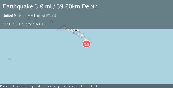
A 3.0 magnitude earthquake struck on ISLAND OF HAWAII, HAWAII, at Fri, 19 Feb 2021 15:54:18 GMT. Depth: 39km. Reviewed by NEIC seismologists, this minor quake occurred at a magnitude type of ml.
Magnitude
3.0
ml
Source
NEIC
Intensity
-
Agency Reports
1 Sources| Source | Magnitude | Depth | Time |
|---|---|---|---|
| NEICPrimary | 3.0 | 39 km | 5 years ago |
Earthquake Details
AutomaticEvent IDemsc_NEIC_20210219_0000122
Tsunami PotentialNo
Magnitude Typeml
Nearest Places
- Pu‘unāhāhā1.8 km
- Red Cones3.0 km
- Peleli‘ili‘i Gulch3.0 km
- Ka‘ili‘ula3.1 km
- Moaula Ka'u Cloud Rest Coffee3.1 km
Comments
Join the discussion about this event.
Latest Earthquakes
2.9Mag
Southeastern Alaska
Time4 minutes ago
Depth0.00 km
SourceVYT (Automatic)
1.8Mag
66 km ESE of Naalehu, Hawaii
Time6 minutes ago
Depth12.54 km
SourceUSGS (Automatic)
2.1Mag
northern Alaska
Time7 minutes ago
Depth0.00 km
SourceVYT (Automatic)
2.9Mag
Seram, Indonesia
Time15 minutes ago
Depth15.78 km
SourceBMKG
2.5Mag
Java, Indonesia
Time16 minutes ago
Depth115.38 km
SourceBMKG
Nearby Earthquakes
3.0Mag
ISLAND OF HAWAII, HAWAII
Time4 years ago
Depth40.00 km
SourceNEIC (Automatic)
3.0Mag
ISLAND OF HAWAII, HAWAII
Time5 years ago
Depth41.00 km
SourceNEIC (Automatic)
3.0Mag
ISLAND OF HAWAII, HAWAII
Time6 years ago
Depth38.00 km
SourceNEIC (Automatic)
3.0Mag
ISLAND OF HAWAII, HAWAII
Time4 years ago
Depth37.00 km
SourceNEIC (Automatic)
3.0Mag
ISLAND OF HAWAII, HAWAII
Time4 years ago
Depth35.00 km
SourceNEIC (Automatic)