Earthquake KERMADEC ISLANDS REGION
Fri, 16 Jul 2021 15:56:35 GMT
Time4 years ago
Location
-29.3300, -176.2000
Depth
10.0 KM
Event Summary
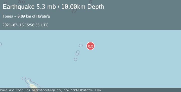
A 5.3 magnitude earthquake struck on KERMADEC ISLANDS REGION, at Fri, 16 Jul 2021 15:56:35 GMT. Depth: 10km. Reviewed by NEIC seismologists, this moderate quake occurred at a magnitude type of mb.
Magnitude
5.3
mb
Source
NEIC
Intensity
-
Agency Reports
1 Sources| Source | Magnitude | Depth | Time |
|---|---|---|---|
| NEICPrimary | 5.3 | 10 km | 4 years ago |
Earthquake Details
AutomaticEvent IDemsc_NEIC_20210716_0000143
Tsunami PotentialNo
Magnitude Typemb
Nearest Places
- 107.3 km
- 157.0 km
- 157.0 km
- 157.2 km
- 158.9 km
Comments
Join the discussion about this event.
Latest Earthquakes
2.3Mag
42 km WNW of Ninilchik, Alaska
Time6 minutes ago
Depth92.40 km
SourceUSGS (Automatic)
1.9Mag
27 km WNW of Nikiski, Alaska
Time8 minutes ago
Depth82.80 km
SourceUSGS (Automatic)
2.8Mag
Kenai Peninsula, Alaska
Time8 minutes ago
Depth0.00 km
SourceVYT (Automatic)
2.3Mag
northern Sumatra, Indonesia
Time10 minutes ago
Depth0.00 km
SourceVYT (Automatic)
0.7Mag
15 km NE of Borrego Springs, CA
Time10 minutes ago
Depth9.68 km
SourceUSGS (Automatic)
Nearby Earthquakes
5.3Mag
KERMADEC ISLANDS REGION
Time14 years ago
Depth60.00 km
SourceEMSC (Automatic)
5.2Mag
KERMADEC ISLANDS REGION
Time2 years ago
Depth10.00 km
SourceEMSC (Automatic)
5.7Mag
KERMADEC ISLANDS REGION
Time14 years ago
Depth40.00 km
SourceEMSC (Automatic)
5.3Mag
KERMADEC ISLANDS REGION
Time2 years ago
Depth10.00 km
SourceEMSC (Automatic)
5.0Mag
KERMADEC ISLANDS REGION
Time14 years ago
Depth32.00 km
SourceEMSC (Automatic)