Earthquake northern Sumatra, Indonesia
Sat, 21 Feb 2026 23:37:23 GMT
Time1 hour ago
Location
3.4589, 97.8439
Depth
0.0 KM
Event Summary
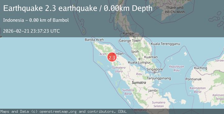
A 2.3 magnitude earthquake struck on northern Sumatra, Indonesia, at Sat, 21 Feb 2026 23:37:23 GMT. Depth: 0km. Reviewed by VYT seismologists, this minor quake occurred at a magnitude type of earthquake.
Magnitude
2.3
earthquake
Source
VYT
Intensity
-
Agency Reports
1 Sources| Source | Magnitude | Depth | Time |
|---|---|---|---|
| VYTPrimary | 2.3 | 0 km | 1 hour ago |
Earthquake Details
AutomaticEvent IDvyt_se4y6qdd3geh
Tsunami PotentialNo
Magnitude Typeearthquake
Nearest Places
- 0.1 km
- 0.2 km
- 0.3 km
- 0.4 km
- 0.4 km
Comments
Join the discussion about this event.
Latest Earthquakes
2.1Mag
Southern Alaska
Time1 hour ago
Depth27.34 km
SourceVYT (Automatic)
3.1Mag
Near North Coast of West Papua
Time1 hour ago
Depth10.00 km
SourceBMKG
1.4Mag
21 km ESE of Bodfish, CA
Time1 hour ago
Depth2.14 km
SourceUSGS (Automatic)
2.6Mag
Atacama, Chile
Time1 hour ago
Depth0.00 km
SourceVYT (Automatic)
4.1Mag
JUJUY, ARGENTINA
Time1 hour ago
Depth244.50 km
SourceCSN (Automatic)
Nearby Earthquakes
5.1Mag
NORTHERN SUMATRA, INDONESIA
Time16 years ago
Depth60.00 km
SourceEMSC (Automatic)
3.8Mag
Northern Sumatra, Indonesia
Time1 week ago
Depth113.12 km
SourceBMKG (Automatic)
3.0Mag
NORTHERN SUMATRA, INDONESIA
Time2 years ago
Depth10.00 km
SourceBMKG (Automatic)
2.5Mag
NORTHERN SUMATRA, INDONESIA
Time1 month ago
Depth4.00 km
SourceBMKG (Automatic)
3.0Mag
NORTHERN SUMATRA, INDONESIA
Time10 months ago
Depth10.00 km
SourceBMKG (Automatic)