Earthquake EAST OF KURIL ISLANDS
Sat, 03 Jan 2026 15:18:44 GMT
Time1 month ago
Location
50.8912, 160.2562
Depth
10.0 KM
Event Summary
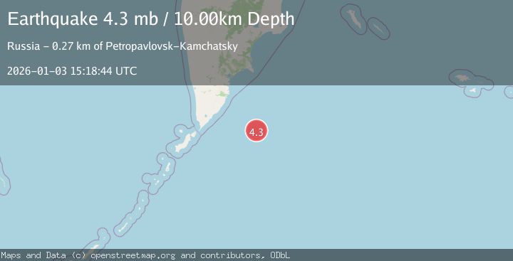
A 4.3 magnitude earthquake struck on EAST OF KURIL ISLANDS, at Sat, 03 Jan 2026 15:18:44 GMT. Depth: 10km. Reviewed by NEIC seismologists, this light quake occurred at a magnitude type of mb.
Magnitude
4.3
mb
Source
NEIC
Intensity
-
Agency Reports
1 Sources| Source | Magnitude | Depth | Time |
|---|---|---|---|
| NEICPrimary | 4.3 | 10 km | 1 month ago |
Earthquake Details
AutomaticEvent IDemsc_NEIC_20260103_0000353
Tsunami PotentialNo
Magnitude Typemb
Nearest Places
- 53.5 km
- 125.1 km
- 181.6 km
- 181.9 km
- 182.0 km
Comments
Join the discussion about this event.
Latest Earthquakes
2.5Mag
Valparaiso, Chile
Time17 minutes ago
Depth64.70 km
SourceVYT (Automatic)
4.0Mag
Banda Sea
Time23 minutes ago
Depth10.00 km
SourceBMKG
3.8Mag
off the south coast of Papua, Indonesia
Time24 minutes ago
Depth363.40 km
SourceVYT (Automatic)
2.8Mag
Borneo
Time24 minutes ago
Depth2.43 km
SourceBMKG
3.9Mag
PAKISTAN
Time25 minutes ago
Depth10.00 km
SourceNDI (Automatic)
Nearby Earthquakes
6.0Mag
EAST OF KURIL ISLANDS
Time12 years ago
Depth10.00 km
SourceEMSC (Automatic)
5.0Mag
EAST OF KURIL ISLANDS
Time2 weeks ago
Depth12.00 km
SourceEMSC (Automatic)
4.0Mag
OFF EAST COAST OF KAMCHATKA
Time1 year ago
Depth10.00 km
SourceGSRAS (Automatic)
4.3Mag
EAST OF KURIL ISLANDS
Time2 weeks ago
Depth45.00 km
SourceGSRAS (Automatic)
4.4Mag
OFF EAST COAST OF KAMCHATKA
Time1 week ago
Depth50.00 km
SourceGSRAS (Automatic)