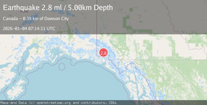
Earthquake SOUTHERN YUKON TERRITORY, CANADA
Sun, 04 Jan 2026 07:14:11 GMT
Time1 month ago
Location
60.5616, -139.9543
Depth
5.0 KM
Event Summary
A 2.8 magnitude earthquake struck on SOUTHERN YUKON TERRITORY, CANADA, at Sun, 04 Jan 2026 07:14:11 GMT. Depth: 5km. Reviewed by NEIC seismologists, this minor quake occurred at a magnitude type of ml.
Magnitude
2.8
ml
Source
NEIC
Intensity
-
Agency Reports
1 Sources| Source | Magnitude | Depth | Time |
|---|---|---|---|
| NEICPrimary | 2.8 | 5 km | 1 month ago |
Earthquake Details
AutomaticEvent IDemsc_NEIC_20260104_0000118
Tsunami PotentialNo
Magnitude Typeml
Nearest Places
- Marker Lake5.8 km
- Mount King George9.7 km
- Mount Queen Mary14.5 km
- McArthur Peak15.0 km
- Mount Logan24.6 km
Comments
Join the discussion about this event.
Latest Earthquakes
2.6Mag
Antofagasta, Chile
Time2 minutes ago
Depth0.00 km
SourceVYT (Automatic)
2.8Mag
Fox Islands, Aleutian Islands, Alaska
Time5 minutes ago
Depth80.44 km
SourceVYT (Automatic)
0.9Mag
110 km S of McCarthy, Alaska
Time8 minutes ago
Depth18.50 km
SourceUSGS (Automatic)
3.0Mag
Central Alaska
Time8 minutes ago
Depth0.12 km
SourceVYT (Automatic)
2.5Mag
Minahassa Peninsula, Sulawesi
Time10 minutes ago
Depth4.95 km
SourceBMKG
Nearby Earthquakes
2.9Mag
SOUTHERN YUKON TERRITORY, CANADA
Time1 month ago
Depth5.00 km
SourceNEIC (Automatic)
2.5Mag
SOUTHERN YUKON TERRITORY, CANADA
Time1 month ago
Depth5.00 km
SourceNEIC (Automatic)
5.7Mag
SOUTHERN YUKON TERRITORY, CANADA
Time1 month ago
Depth2.30 km
SourceAK (Automatic)
3.6Mag
SOUTHERN YUKON TERRITORY, CANADA
Time1 month ago
Depth2.50 km
SourceAK (Automatic)
2.5Mag
SOUTHERN YUKON TERRITORY, CANADA
Time2 months ago
Depth5.00 km
SourceNEIC (Automatic)