Earthquake BANDA SEA
Mon, 12 Jan 2026 21:49:42 GMT
Time1 month ago
Location
-4.2969, 128.5568
Depth
550.7 KM
Event Summary
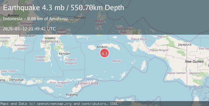
A 4.3 magnitude earthquake struck on BANDA SEA, at Mon, 12 Jan 2026 21:49:42 GMT. Depth: 550.7km. Reviewed by NEIC seismologists, this light quake occurred at a magnitude type of mb.
Magnitude
4.3
mb
Source
NEIC
Intensity
-
Agency Reports
1 Sources| Source | Magnitude | Depth | Time |
|---|---|---|---|
| NEICPrimary | 4.3 | 551 km | 1 month ago |
Earthquake Details
AutomaticEvent IDemsc_NEIC_20260112_0000380
Tsunami PotentialNo
Magnitude Typemb
Nearest Places
- Tanjung Haur70.9 km
- Tanjung Lasak71.0 km
- Tanjung Hihar71.0 km
- Teluk Hahila71.1 km
- Teluk Hukurila71.2 km
Comments
Join the discussion about this event.
Latest Earthquakes
2.2Mag
Finland
Time52 seconds ago
Depth24.05 km
SourceVYT (Automatic)
2.7Mag
Central Alaska
Time1 minute ago
Depth0.00 km
SourceVYT (Automatic)
1.0Mag
Alaska Peninsula
Time3 minutes ago
Depth0.61 km
SourceVYT (Automatic)
2.0Mag
western Texas
Time3 minutes ago
Depth0.00 km
SourceVYT (Automatic)
2.8Mag
OFFSHORE EL SALVADOR
Time6 minutes ago
Depth18.00 km
SourceINET (Automatic)
Nearby Earthquakes
3.0Mag
BANDA SEA
Time2 years ago
Depth106.00 km
SourceBMKG (Automatic)
4.0Mag
BANDA SEA
Time7 years ago
Depth205.00 km
SourceNEIC (Automatic)
3.0Mag
BANDA SEA
Time5 months ago
Depth10.00 km
SourceBMKG (Automatic)
5.0Mag
BANDA SEA
Time17 years ago
Depth263.00 km
SourceEMSC (Automatic)
4.0Mag
BANDA SEA
Time1 year ago
Depth178.00 km
SourceBMKG (Automatic)