Earthquake SOUTH OF ALASKA
Tue, 13 Jan 2026 22:18:04 GMT
Time1 month ago
Location
54.4028, -159.9633
Depth
35.0 KM
Event Summary
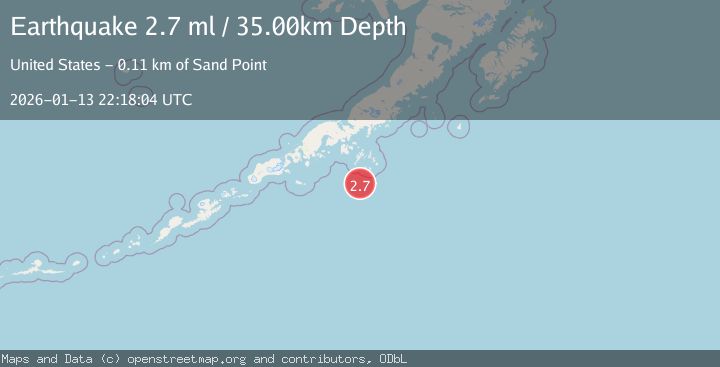
A 2.7 magnitude earthquake struck on SOUTH OF ALASKA, at Tue, 13 Jan 2026 22:18:04 GMT. Depth: 35km. Reviewed by NEIC seismologists, this minor quake occurred at a magnitude type of ml.
Magnitude
2.7
ml
Source
NEIC
Intensity
-
Agency Reports
1 Sources| Source | Magnitude | Depth | Time |
|---|---|---|---|
| NEICPrimary | 2.7 | 35 km | 1 month ago |
Earthquake Details
AutomaticEvent IDemsc_NEIC_20260113_0000339
Tsunami PotentialNo
Magnitude Typeml
Nearest Places
- Point Welcome45.0 km
- Point Farewell46.2 km
- Shumagin Bank47.3 km
- Bird Island48.3 km
- Otter Strait50.1 km
Comments
Join the discussion about this event.
Latest Earthquakes
1.2Mag
Southern Alaska
Time8 minutes ago
Depth37.11 km
SourceVYT (Automatic)
3.0Mag
Seram, Indonesia
Time8 minutes ago
Depth12.36 km
SourceBMKG
1.1Mag
Washington
Time12 minutes ago
Depth9.64 km
SourceVYT (Automatic)
1.3Mag
WESTERN TURKEY
Time12 minutes ago
Depth8.60 km
SourceAFAD (Automatic)
1.9Mag
32 km NW of Toyah, Texas
Time14 minutes ago
Depth4.09 km
SourceUSGS (Automatic)
Nearby Earthquakes
2.6Mag
SOUTH OF ALASKA
Time1 week ago
Depth35.00 km
SourceNEIC (Automatic)
3.0Mag
SOUTH OF ALASKA
Time2 years ago
Depth10.00 km
SourceNEIC (Automatic)
2.7Mag
SOUTH OF ALASKA
Time2 months ago
Depth34.40 km
SourceNEIC (Automatic)
3.0Mag
ALASKA PENINSULA
Time5 months ago
Depth25.60 km
SourceAK (Automatic)
3.0Mag
ALASKA PENINSULA
Time7 years ago
Depth25.00 km
SourceNEIR (Automatic)