Earthquake SOUTHERN ALASKA
Thu, 15 Jan 2026 09:37:20 GMT
Time1 month ago
Location
61.4278, -152.3249
Depth
124.9 KM
Event Summary
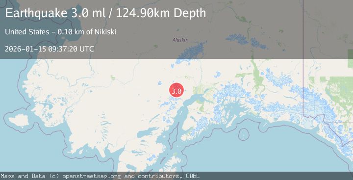
A 3.0 magnitude earthquake struck on SOUTHERN ALASKA, at Thu, 15 Jan 2026 09:37:20 GMT. Depth: 124.9km. Reviewed by NEIC seismologists, this minor quake occurred at a magnitude type of ml.
Magnitude
3.0
ml
Source
NEIC
Intensity
-
Agency Reports
1 Sources| Source | Magnitude | Depth | Time |
|---|---|---|---|
| NEICPrimary | 3.0 | 125 km | 1 month ago |
Earthquake Details
AutomaticEvent IDemsc_NEIC_20260115_0000137
Tsunami PotentialNo
Magnitude Typeml
Nearest Places
- East Torbert Cirque4.0 km
- Tordrillo Mountains5.0 km
- Mount Torbert5.2 km
- Mount Nagishlamina5.8 km
- West Torbert Cirque6.6 km
Comments
Join the discussion about this event.
Latest Earthquakes
1.6Mag
Kenai Peninsula, Alaska
Time1 minute ago
Depth42.60 km
SourceVYT (Automatic)
2.4Mag
Finland
Time4 minutes ago
Depth301.88 km
SourceVYT (Automatic)
1.2Mag
Alaska Peninsula
Time5 minutes ago
Depth0.12 km
SourceVYT (Automatic)
4.1Mag
NEAR COAST OF NORTHERN PERU
Time9 minutes ago
Depth35.00 km
SourceLIM (Automatic)
3.1Mag
DODECANESE IS.-TURKEY BORDER REG
Time11 minutes ago
Depth4.10 km
SourceKOERI (Automatic)
Nearby Earthquakes
3.0Mag
SOUTHERN ALASKA
Time9 years ago
Depth3.00 km
SourceNEIR (Automatic)
1.9Mag
68 km WNW of Beluga, Alaska
Time1 week ago
Depth5.00 km
SourceUSGS (Automatic)
1.0Mag
Southern Alaska
Time6 days ago
Depth0.98 km
SourceVYT (Automatic)
0.6Mag
Southern Alaska
Time5 days ago
Depth0.00 km
SourceVYT (Automatic)
1.0Mag
Southern Alaska
Time12 hours ago
Depth0.12 km
SourceVYT (Automatic)