Earthquake SOUTHERN ALASKA
Fri, 16 Jan 2026 16:02:49 GMT
Time1 month ago
Location
61.7017, -149.7847
Depth
35.0 KM
Event Summary
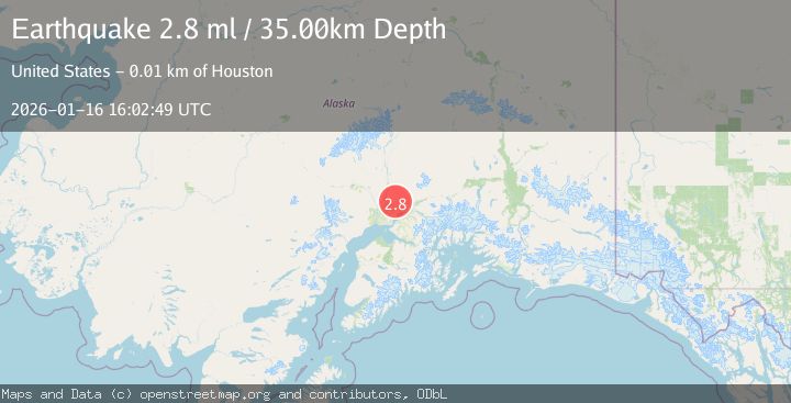
A 2.8 magnitude earthquake struck on SOUTHERN ALASKA, at Fri, 16 Jan 2026 16:02:49 GMT. Depth: 35km. Reviewed by NEIC seismologists, this minor quake occurred at a magnitude type of ml.
Magnitude
2.8
ml
Source
NEIC
Intensity
-
Agency Reports
1 Sources| Source | Magnitude | Depth | Time |
|---|---|---|---|
| NEICPrimary | 2.8 | 35 km | 1 month ago |
Earthquake Details
AutomaticEvent IDemsc_NEIC_20260116_0000285
Tsunami PotentialNo
Magnitude Typeml
Nearest Places
- Stevens Lake4.6 km
- Teakwood Lake5.6 km
- East Fork Coho Creek5.9 km
- West Fork Coho Creek5.9 km
- Zero Lake6.1 km
Comments
Join the discussion about this event.
Latest Earthquakes
2.3Mag
Tarapaca, Chile
Time2 minutes ago
Depth115.60 km
SourceVYT (Automatic)
1.2Mag
19 km NNE of Indio, CA
Time5 minutes ago
Depth4.86 km
SourceUSGS (Automatic)
2.5Mag
northwestern Russia
Time7 minutes ago
Depth0.00 km
SourceVYT (Automatic)
1.8Mag
54 km S of Whites City, New Mexico
Time9 minutes ago
Depth6.07 km
SourceUSGS (Automatic)
2.0Mag
Arizona
Time12 minutes ago
Depth8.18 km
SourceVYT (Automatic)
Nearby Earthquakes
3.0Mag
SOUTHERN ALASKA
Time4 years ago
Depth41.00 km
SourceNEIC (Automatic)
4.0Mag
SOUTHERN ALASKA
Time3 years ago
Depth37.00 km
SourceNEIC (Automatic)
2.7Mag
11 km NNE of Houston, Alaska
Time4 days ago
Depth17.00 km
SourceUSGS (Automatic)
3.0Mag
SOUTHERN ALASKA
Time6 years ago
Depth20.00 km
SourceNEIC (Automatic)
4.6Mag
9 km NNW of Meadow Lakes, Alaska
Time1 week ago
Depth10.40 km
SourceUSGS