Earthquake PERU-ECUADOR BORDER REGION
Fri, 16 Jan 2026 21:15:06 GMT
Time3 months ago
Location
-4.3686, -78.1390
Depth
10.0 KM
Event Summary
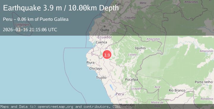
A 3.9 magnitude earthquake struck on PERU-ECUADOR BORDER REGION, at Fri, 16 Jan 2026 21:15:06 GMT. Depth: 10km. Reviewed by NEIC seismologists, this minor quake occurred at a magnitude type of m.
Magnitude
3.9
m
Source
NEIC
Intensity
II
Agency Reports
1 Sources| Source | Magnitude | Depth | Time |
|---|---|---|---|
| NEICPrimary | 3.9 | 10 km | 3 months ago |
Earthquake Details
AutomaticEvent IDemsc_NEIC_20260116_0000357
QualityS
Tsunami PotentialNo
Magnitude Typem
Last Update2 months ago
Nearest Places
Possibly felt by: 2.6K
- 54.6 km
- 83.1 km
- 89.5 km
- 91.2 km10K people
- 96.5 km15.3K people
- 118.0 km4.6K people
- 121.1 km
Felt Reports0
Did you feel this earthquake? Report it to help others.
No reports yet
Be the first to report this earthquake!
Latest Earthquakes
Loading...
Nearby Earthquakes
3.9Mag
PERU-ECUADOR BORDER REGION
Time2 months ago
Depth69.00 km
SourceQUI (Automatic)
5.5Mag
PERU-ECUADOR BORDER REGION
Time3 months ago
Depth102.20 km
SourceEMSC (Automatic)
3.2Mag
PERU-ECUADOR BORDER REGION
Time3 months ago
Depth94.00 km
SourceQUI (Automatic)
4.0Mag
NORTHERN PERU
Time6 months ago
Depth132.00 km
SourceLIM (Automatic)
4.0Mag
NORTHERN PERU
Time1 year ago
Depth29.00 km
SourceLIM (Automatic)