Earthquake SOUTHERN ALASKA
Sat, 17 Jan 2026 14:53:31 GMT
Time1 month ago
Location
59.2512, -152.6439
Depth
69.4 KM
Event Summary
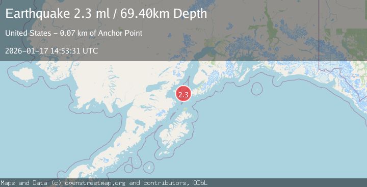
A 2.3 magnitude earthquake struck on SOUTHERN ALASKA, at Sat, 17 Jan 2026 14:53:31 GMT. Depth: 69.4km. Reviewed by NEIC seismologists, this minor quake occurred at a magnitude type of ml.
Magnitude
2.3
ml
Source
NEIC
Intensity
-
Agency Reports
1 Sources| Source | Magnitude | Depth | Time |
|---|---|---|---|
| NEICPrimary | 2.3 | 69 km | 1 month ago |
Earthquake Details
AutomaticEvent IDemsc_NEIC_20260117_0000167
Tsunami PotentialNo
Magnitude Typeml
Nearest Places
- Cook Inlet14.7 km
- Jakolof Bay24.8 km
- Magnet Rock36.9 km
- Northwest Point37.1 km
- Point Bede37.8 km
Comments
Join the discussion about this event.
Latest Earthquakes
2.3Mag
Tarapaca, Chile
Time1 minute ago
Depth114.14 km
SourceVYT (Automatic)
2.1Mag
Southern Alaska
Time6 minutes ago
Depth67.26 km
SourceVYT (Automatic)
2.2Mag
western Russia
Time8 minutes ago
Depth0.00 km
SourceVYT (Automatic)
1.5Mag
4 km NNW of The Geysers, CA
Time9 minutes ago
Depth-0.27 km
SourceUSGS (Automatic)
1.0Mag
9 km WNW of Two Rivers, Alaska
Time10 minutes ago
Depth5.70 km
SourceUSGS (Automatic)
Nearby Earthquakes
2.6Mag
SOUTHERN ALASKA
Time1 month ago
Depth74.20 km
SourceNEIC (Automatic)
1.9Mag
Southern Alaska
Time6 days ago
Depth71.29 km
SourceVYT (Automatic)
4.0Mag
SOUTHERN ALASKA
Time4 years ago
Depth76.00 km
SourceNEIC (Automatic)
2.9Mag
SOUTHERN ALASKA
Time2 months ago
Depth65.10 km
SourceNEIC (Automatic)
5.2Mag
SOUTHERN ALASKA
Time17 years ago
Depth71.00 km
SourceEMSC (Automatic)