Earthquake SOUTHERN ALASKA
Sat, 17 Jan 2026 02:50:07 GMT
Time1 month ago
Location
61.3560, -149.9661
Depth
38.2 KM
Event Summary
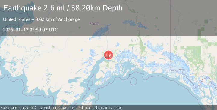
A 2.6 magnitude earthquake struck on SOUTHERN ALASKA, at Sat, 17 Jan 2026 02:50:07 GMT. Depth: 38.2km. Reviewed by NEIC seismologists, this minor quake occurred at a magnitude type of ml.
Magnitude
2.6
ml
Source
NEIC
Intensity
-
Agency Reports
1 Sources| Source | Magnitude | Depth | Time |
|---|---|---|---|
| NEICPrimary | 2.6 | 38 km | 1 month ago |
Earthquake Details
AutomaticEvent IDemsc_NEIC_20260117_0000286
Tsunami PotentialNo
Magnitude Typeml
Nearest Places
- Point MacKenzie0.8 km
- Goose Creek Correctional Center2.3 km
- Lost Lake2.9 km
- Lost Lake Seaplane Base3.1 km
- Mule Creek4.3 km
Comments
Join the discussion about this event.
Latest Earthquakes
2.2Mag
western Texas
Time1 minute ago
Depth0.24 km
SourceVYT (Automatic)
2.2Mag
Valparaiso, Chile
Time2 minutes ago
Depth22.83 km
SourceVYT (Automatic)
4.5Mag
Central Alaska
Time3 minutes ago
Depth7.81 km
SourceVYT (Automatic)
1.9Mag
1 km SSW of Pāhala, Hawaii
Time7 minutes ago
Depth28.47 km
SourceUSGS (Automatic)
1.5Mag
5 km NW of The Geysers, CA
Time8 minutes ago
Depth2.47 km
SourceUSGS (Automatic)
Nearby Earthquakes
5.3Mag
SOUTHERN ALASKA
Time4 years ago
Depth48.00 km
SourceEMSC (Automatic)
3.0Mag
SOUTHERN ALASKA
Time7 years ago
Depth39.00 km
SourceNEIC (Automatic)
3.0Mag
SOUTHERN ALASKA
Time7 years ago
Depth42.00 km
SourceNEIR (Automatic)
3.0Mag
SOUTHERN ALASKA
Time7 years ago
Depth29.00 km
SourceNEIR (Automatic)
3.0Mag
SOUTHERN ALASKA
Time7 years ago
Depth33.00 km
SourceNEIC (Automatic)