Earthquake MORO GULF, MINDANAO, PHILIPPINES
Thu, 29 Jan 2026 00:08:22 GMT
Time3 weeks ago
Location
6.0531, 123.6801
Depth
10.0 KM
Event Summary
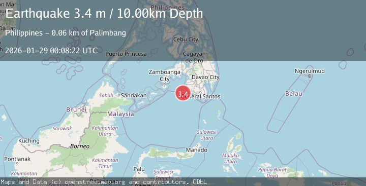
A 3.4 magnitude earthquake struck on MORO GULF, MINDANAO, PHILIPPINES, at Thu, 29 Jan 2026 00:08:22 GMT. Depth: 10km. Reviewed by NEIC seismologists, this minor quake occurred at a magnitude type of m.
Magnitude
3.4
m
Source
NEIC
Intensity
-
Agency Reports
1 Sources| Source | Magnitude | Depth | Time |
|---|---|---|---|
| NEICPrimary | 3.4 | 10 km | 3 weeks ago |
Earthquake Details
AutomaticEvent IDemsc_NEIC_20260129_0000005
Tsunami PotentialNo
Magnitude Typem
Nearest Places
- 54.7 km
- 55.0 km
- 55.6 km
- 55.8 km
- 55.8 km
Comments
Join the discussion about this event.
Latest Earthquakes
3.4Mag
Minahasa, Sulawesi, Indonesia
Time7 minutes ago
Depth187.38 km
SourceVYT (Automatic)
3.6Mag
ANTOFAGASTA, CHILE
Time9 minutes ago
Depth123.40 km
SourceCSN (Automatic)
3.3Mag
Central Alaska
Time12 minutes ago
Depth3.05 km
SourceVYT (Automatic)
2.9Mag
ALBANIA
Time16 minutes ago
Depth15.00 km
SourceIGEO (Automatic)
4.3Mag
GUATEMALA
Time17 minutes ago
Depth277.00 km
SourceINET (Automatic)
Nearby Earthquakes
4.9Mag
Mindanao, Philippines
Time1 month ago
Depth10.00 km
SourceBMKG (Automatic)
3.2Mag
MORO GULF, MINDANAO, PHILIPPINES
Time3 weeks ago
Depth10.00 km
SourceNEIC (Automatic)
4.6Mag
Mindanao, Philippines
Time3 weeks ago
Depth119.30 km
SourceBMKG (Automatic)
3.9Mag
MORO GULF, MINDANAO, PHILIPPINES
Time3 weeks ago
Depth10.00 km
SourceNEIC (Automatic)
4.7Mag
Mindanao, Philippines
Time2 weeks ago
Depth10.00 km
SourceBMKG (Automatic)