Earthquake SOUTHERN YUKON TERRITORY, CANADA
Fri, 30 Jan 2026 14:10:33 GMT
Time2 weeks ago
Location
60.5531, -139.6991
Depth
5.0 KM
Event Summary
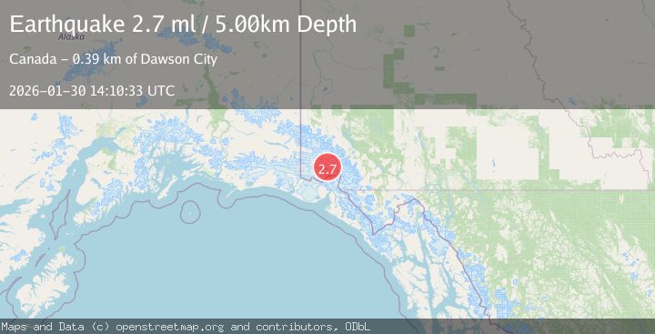
A 2.7 magnitude earthquake struck on SOUTHERN YUKON TERRITORY, CANADA, at Fri, 30 Jan 2026 14:10:33 GMT. Depth: 5km. Reviewed by NEIC seismologists, this minor quake occurred at a magnitude type of ml.
Magnitude
2.7
ml
Source
NEIC
Intensity
-
Agency Reports
1 Sources| Source | Magnitude | Depth | Time |
|---|---|---|---|
| NEICPrimary | 2.7 | 5 km | 2 weeks ago |
Earthquake Details
AutomaticEvent IDemsc_NEIC_20260130_0000258
Tsunami PotentialNo
Magnitude Typeml
Nearest Places
- Mount King George5.4 km
- Mount Queen Mary8.5 km
- St. Elias Mountains12.5 km
- Marker Lake16.4 km
- Mount Vancouver21.6 km
Comments
Join the discussion about this event.
Latest Earthquakes
1.2Mag
Southern Alaska
Time7 minutes ago
Depth37.11 km
SourceVYT (Automatic)
3.0Mag
Seram, Indonesia
Time7 minutes ago
Depth12.36 km
SourceBMKG
1.1Mag
Washington
Time11 minutes ago
Depth9.64 km
SourceVYT (Automatic)
1.3Mag
WESTERN TURKEY
Time11 minutes ago
Depth8.60 km
SourceAFAD (Automatic)
1.9Mag
32 km NW of Toyah, Texas
Time13 minutes ago
Depth4.09 km
SourceUSGS (Automatic)
Nearby Earthquakes
3.7Mag
SOUTHERN YUKON TERRITORY, CANADA
Time1 month ago
Depth5.40 km
SourceAK (Automatic)
2.3Mag
Southeastern Alaska
Time12 hours ago
Depth0.00 km
SourceVYT (Automatic)
3.0Mag
SOUTHERN YUKON TERRITORY, CANADA
Time2 months ago
Depth5.00 km
SourceAK (Automatic)
4.0Mag
SOUTHERN YUKON TERRITORY, CANADA
Time2 months ago
Depth5.00 km
SourceNEIC (Automatic)
3.1Mag
SOUTHERN YUKON TERRITORY, CANADA
Time1 month ago
Depth0.00 km
SourceAK (Automatic)