Earthquake KURIL ISLANDS
Fri, 13 Feb 2026 04:56:43 GMT
Time1 week ago
Location
44.0666, 148.6441
Depth
35.0 KM
Event Summary
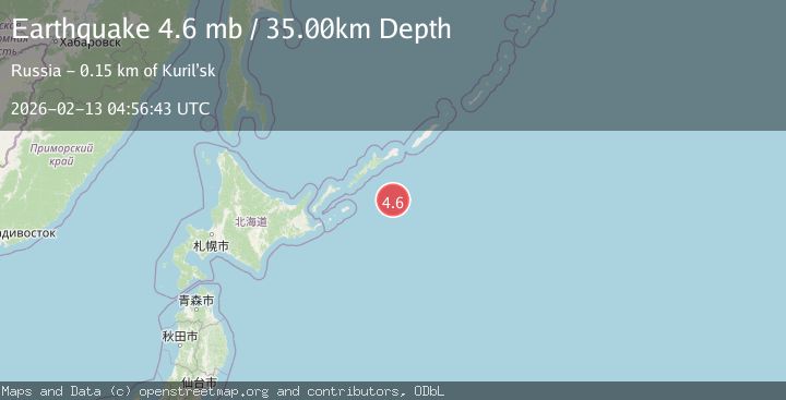
A 4.6 magnitude earthquake struck on KURIL ISLANDS, at Fri, 13 Feb 2026 04:56:43 GMT. Depth: 35km. Reviewed by NEIC seismologists, this light quake occurred at a magnitude type of mb.
Magnitude
4.6
mb
Source
NEIC
Intensity
-
Agency Reports
3 Sources| Source | Magnitude | Depth | Time |
|---|---|---|---|
| NEICPrimary | 4.6 | 35 km | 1 week ago |
| GSRAS | 4.6 | 33 km | 1 week ago |
| EMSC | 4.6 | 35 km | 1 week ago |
Earthquake Details
AutomaticEvent IDemsc_NEIC_20260213_0000074
Tsunami PotentialNo
Magnitude Typemb
Nearest Places
- 115.5 km
- 115.8 km
- 115.8 km
- 116.0 km
- 116.2 km
Comments
Join the discussion about this event.
Latest Earthquakes
2.2Mag
West Papua Region, Indonesia
Time20 hours ago
Depth10.00 km
SourceBMKG
2.2Mag
Kenai Peninsula, Alaska
Time20 hours ago
Depth47.00 km
SourceVYT (Automatic)
2.0Mag
Antofagasta, Chile
Time20 hours ago
Depth23.32 km
SourceVYT (Automatic)
2.8Mag
Queensland, Australia
Time20 hours ago
Depth714.23 km
SourceVYT (Automatic)
1.1Mag
5 km S of Salcha, Alaska
Time20 hours ago
Depth8.70 km
SourceUSGS (Automatic)
Nearby Earthquakes
5.1Mag
KURIL ISLANDS
Time1 week ago
Depth35.00 km
SourceEMSC (Automatic)
5.3Mag
EAST OF KURIL ISLANDS
Time3 years ago
Depth10.00 km
SourceEMSC (Automatic)
5.1Mag
EAST OF KURIL ISLANDS
Time3 years ago
Depth10.00 km
SourceEMSC (Automatic)
5.5Mag
KURIL ISLANDS
Time1 week ago
Depth35.00 km
SourceEMSC (Automatic)
5.1Mag
KURIL ISLANDS
Time2 years ago
Depth30.30 km
SourceEMSC (Automatic)