Earthquake KODIAK ISLAND REGION, ALASKA
Fri, 16 Jun 2017 04:15:27 GMT
Time8 years ago
Location
57.0500, -154.1000
Depth
18.0 KM
Event Summary
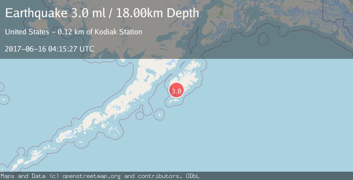
A 3.0 magnitude earthquake struck on KODIAK ISLAND REGION, ALASKA, at Fri, 16 Jun 2017 04:15:27 GMT. Depth: 18km. Reviewed by NEIR seismologists, this minor quake occurred at a magnitude type of ml.
Magnitude
3.0
ml
Source
NEIR
Intensity
-
Agency Reports
1 Sources| Source | Magnitude | Depth | Time |
|---|---|---|---|
| NEIRPrimary | 3.0 | 18 km | 8 years ago |
Earthquake Details
AutomaticEvent IDemsc_NEIR_20170616_0000037
Tsunami PotentialNo
Magnitude Typeml
Nearest Places
- Olga Narrows0.8 km
- Shag Rock2.0 km
- Moser Peninsula3.2 km
- Chip Cove3.5 km
- Moser Bay Seaplane Base3.8 km
Comments
Join the discussion about this event.
Latest Earthquakes
2.8Mag
Sulawesi, Indonesia
Time3 minutes ago
Depth21.08 km
SourceBMKG
2.1Mag
WESTERN TURKEY
Time7 minutes ago
Depth12.30 km
SourceKOERI (Automatic)
2.2Mag
Alaska Peninsula
Time7 minutes ago
Depth57.74 km
SourceVYT (Automatic)
3.8Mag
WESTERN TURKEY
Time10 minutes ago
Depth13.30 km
SourceKOERI (Automatic)
1.6Mag
27 km ESE of Balmorhea, Texas
Time10 minutes ago
Depth3.56 km
SourceUSGS (Automatic)
Nearby Earthquakes
2.5Mag
Kodiak Island region, Alaska
Time10 hours ago
Depth3.91 km
SourceVYT (Automatic)
3.0Mag
KODIAK ISLAND REGION, ALASKA
Time6 years ago
Depth52.00 km
SourceNEIC (Automatic)
3.0Mag
KODIAK ISLAND REGION, ALASKA
Time3 years ago
Depth26.00 km
SourceNEIC (Automatic)
3.0Mag
KODIAK ISLAND REGION, ALASKA
Time2 years ago
Depth44.00 km
SourceNEIR (Automatic)
3.0Mag
KODIAK ISLAND REGION, ALASKA
Time3 years ago
Depth30.00 km
SourceNEIC (Automatic)